Utah

Moab’s Best Canyoneering Trips

Medieval Chamber

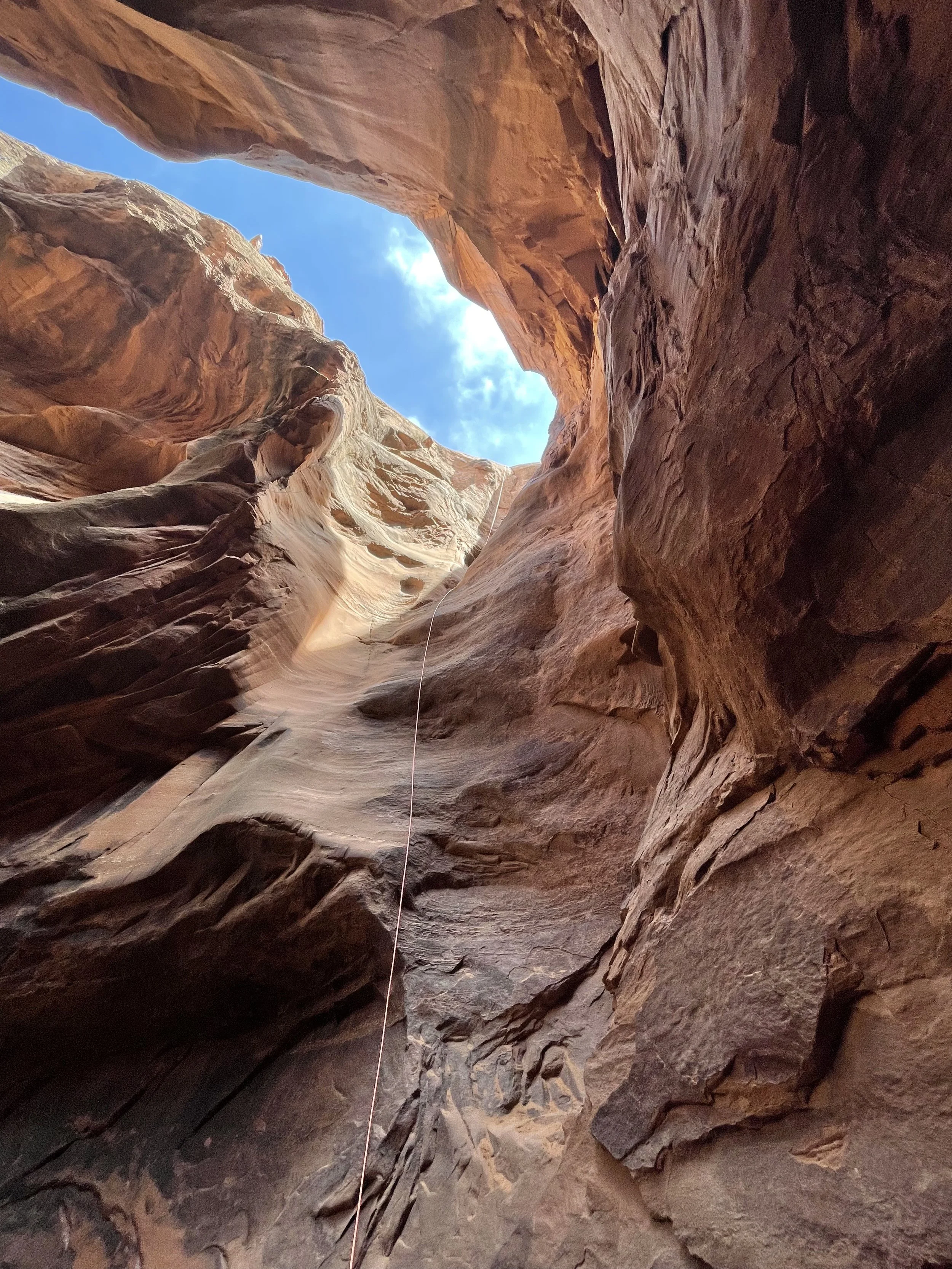
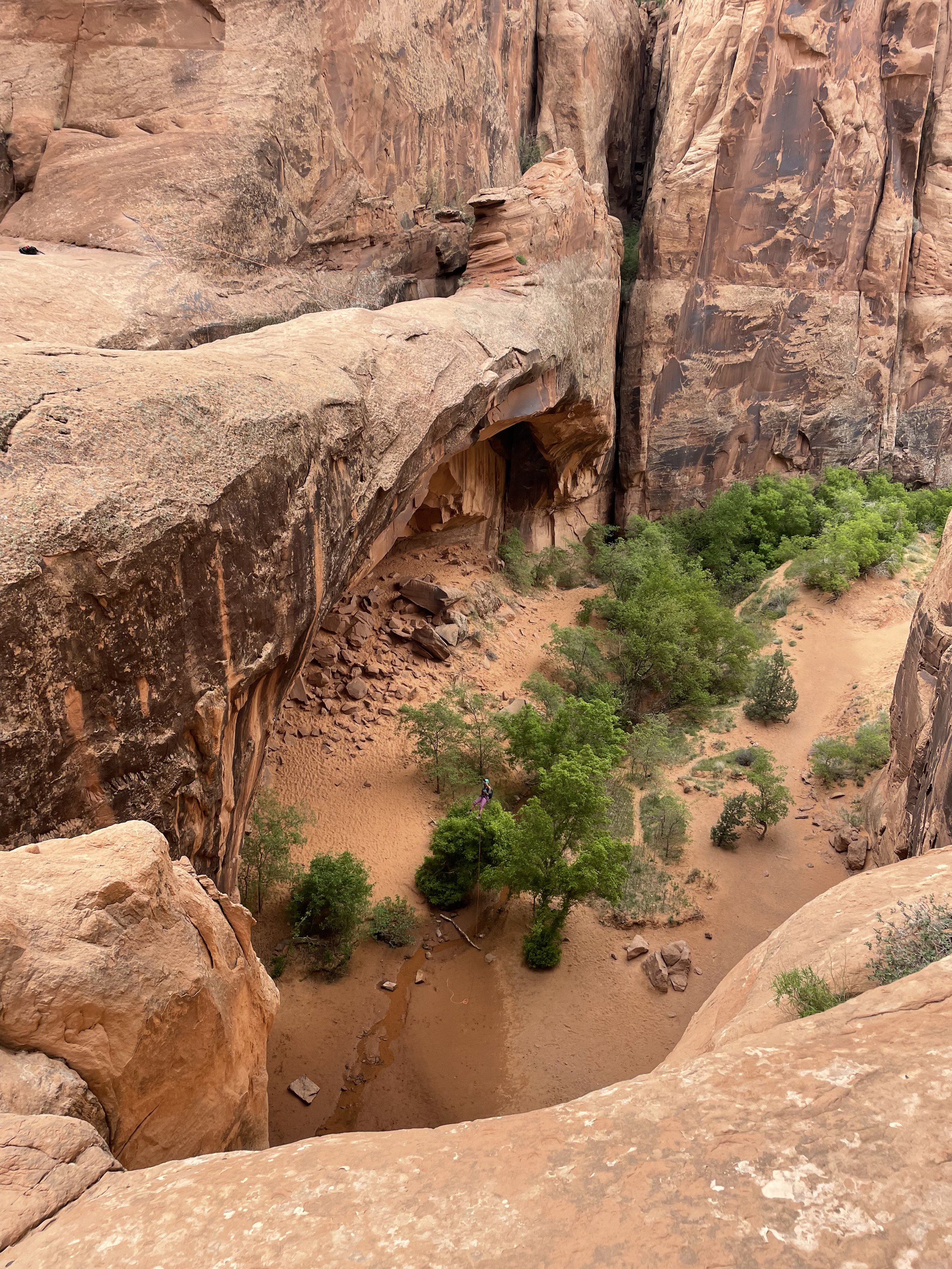
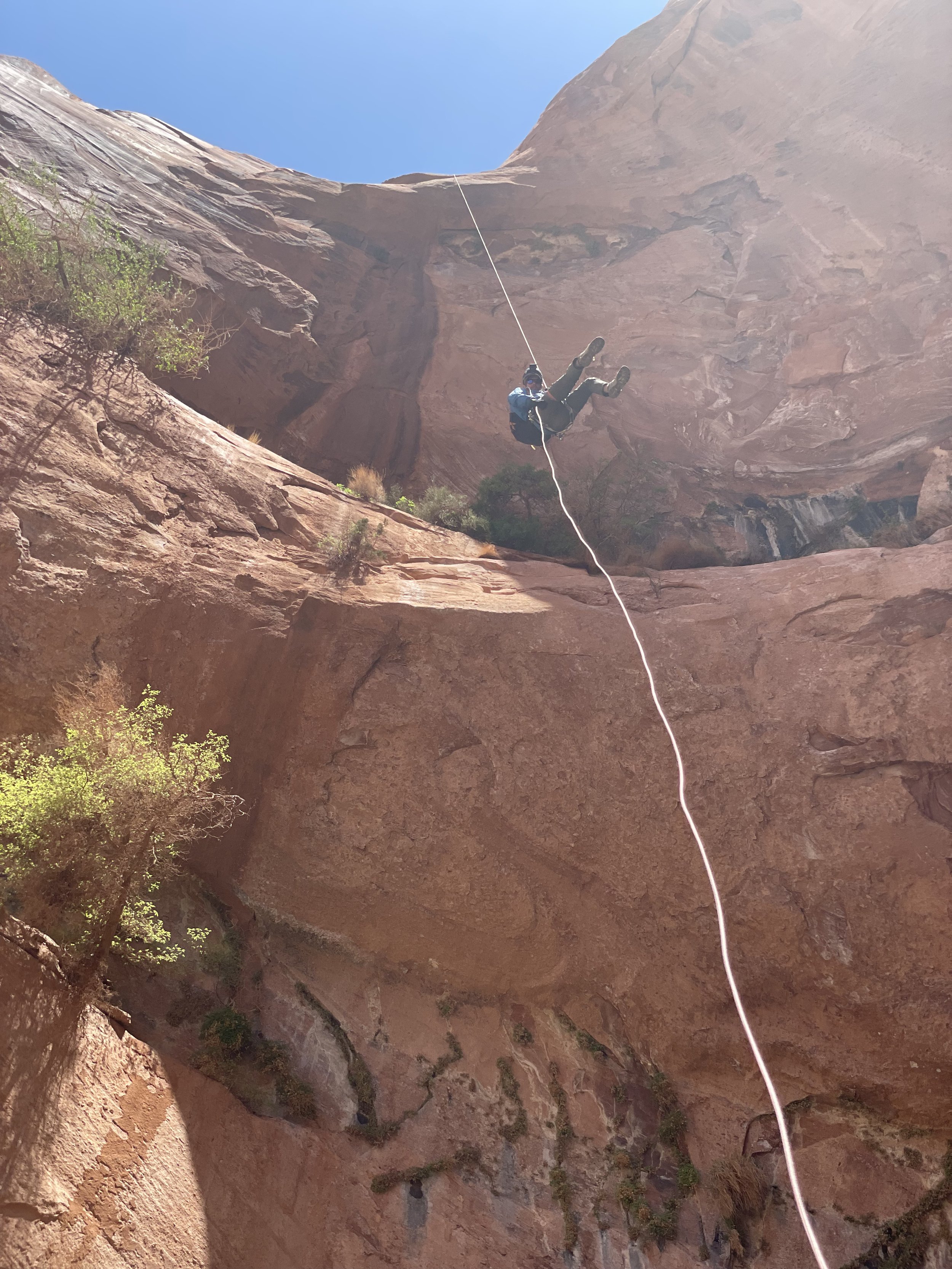
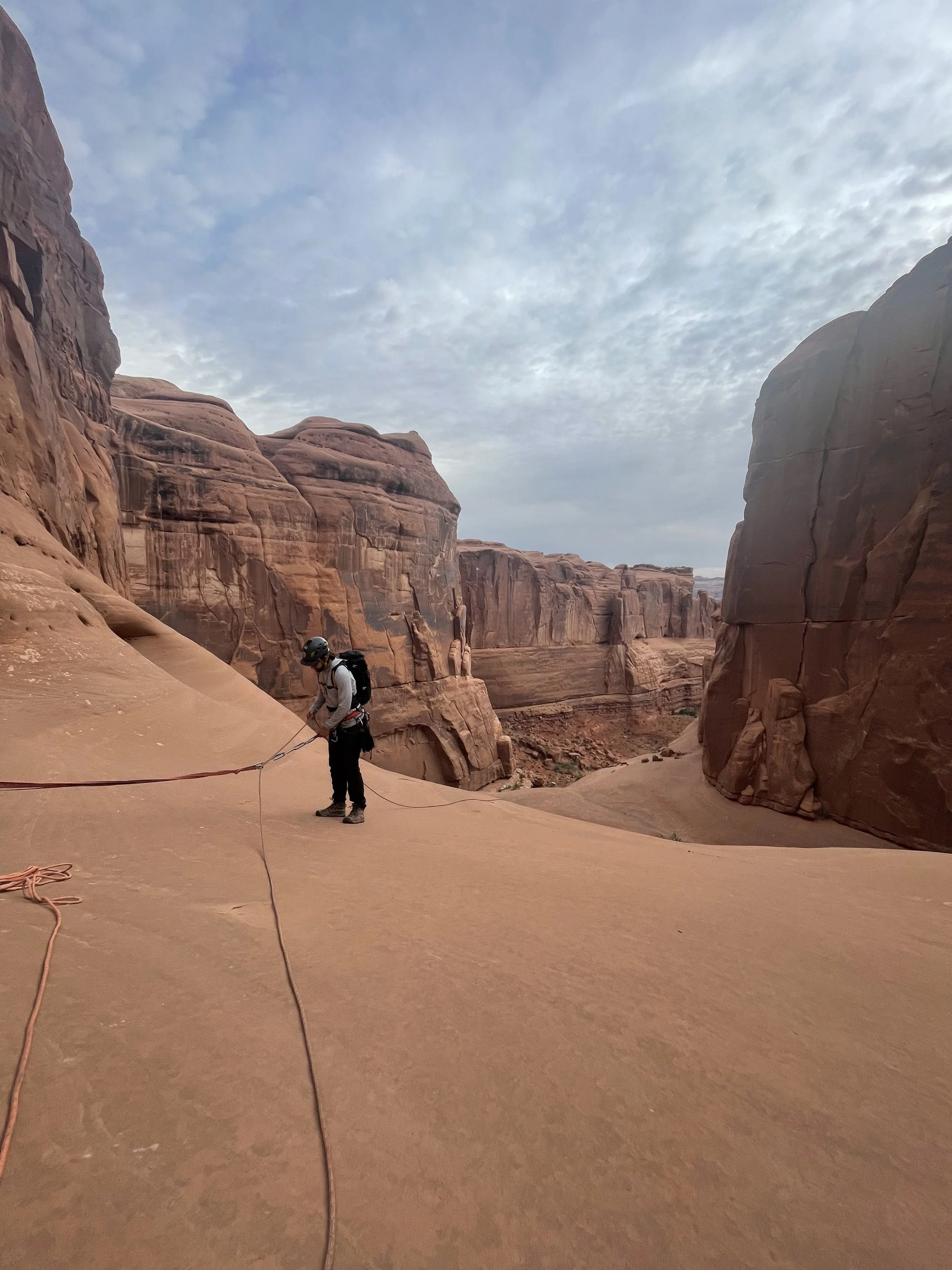
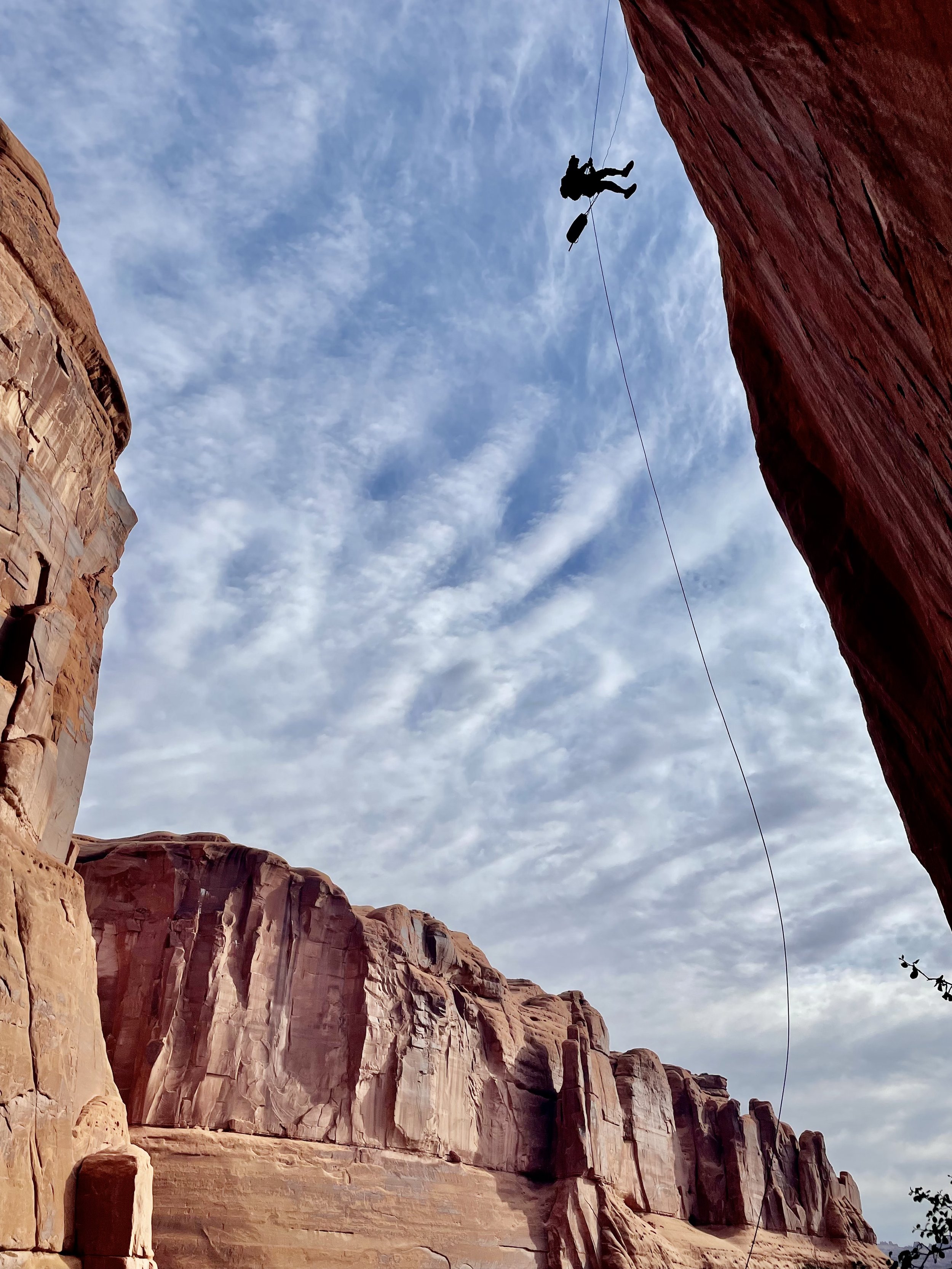
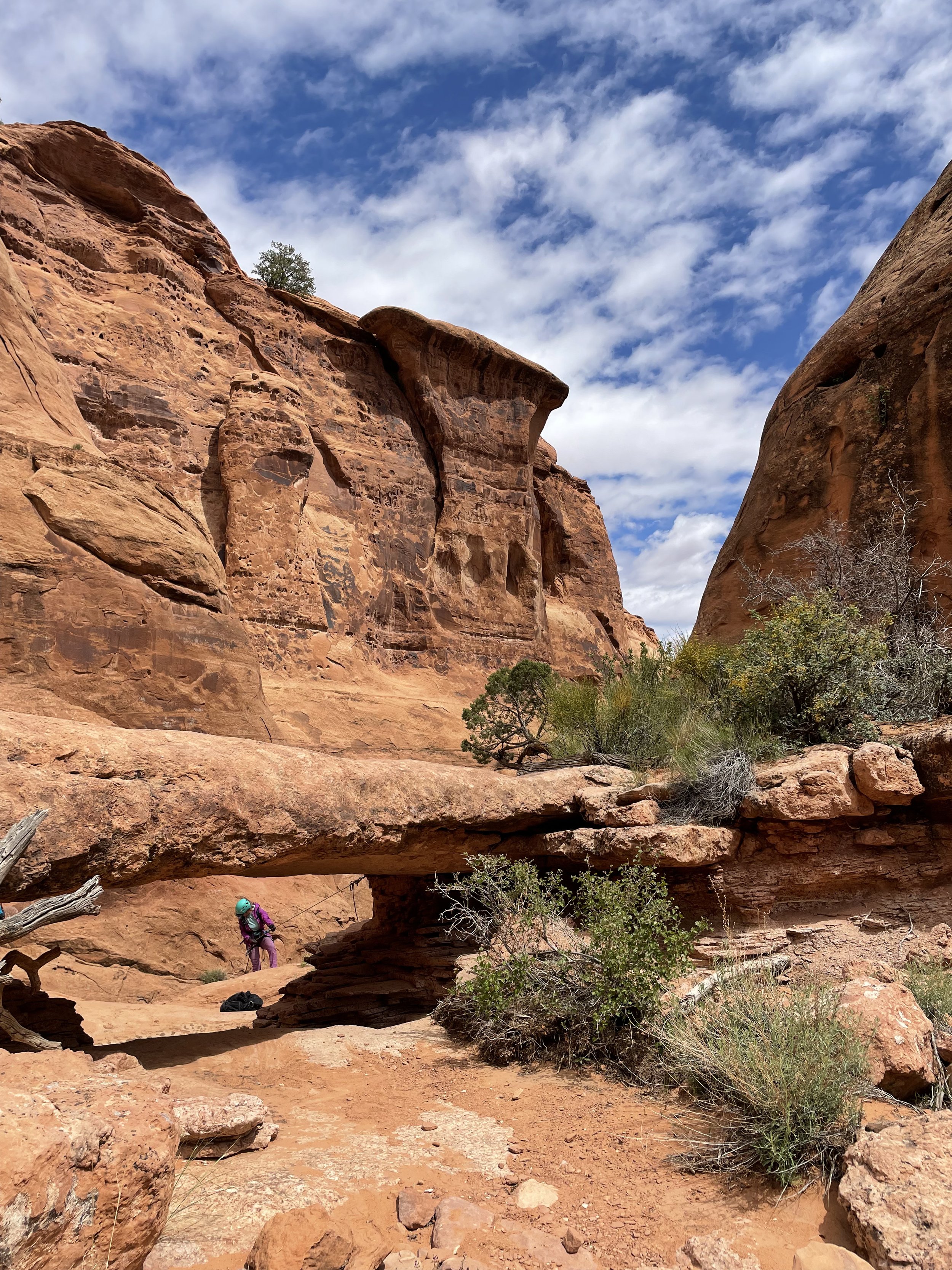
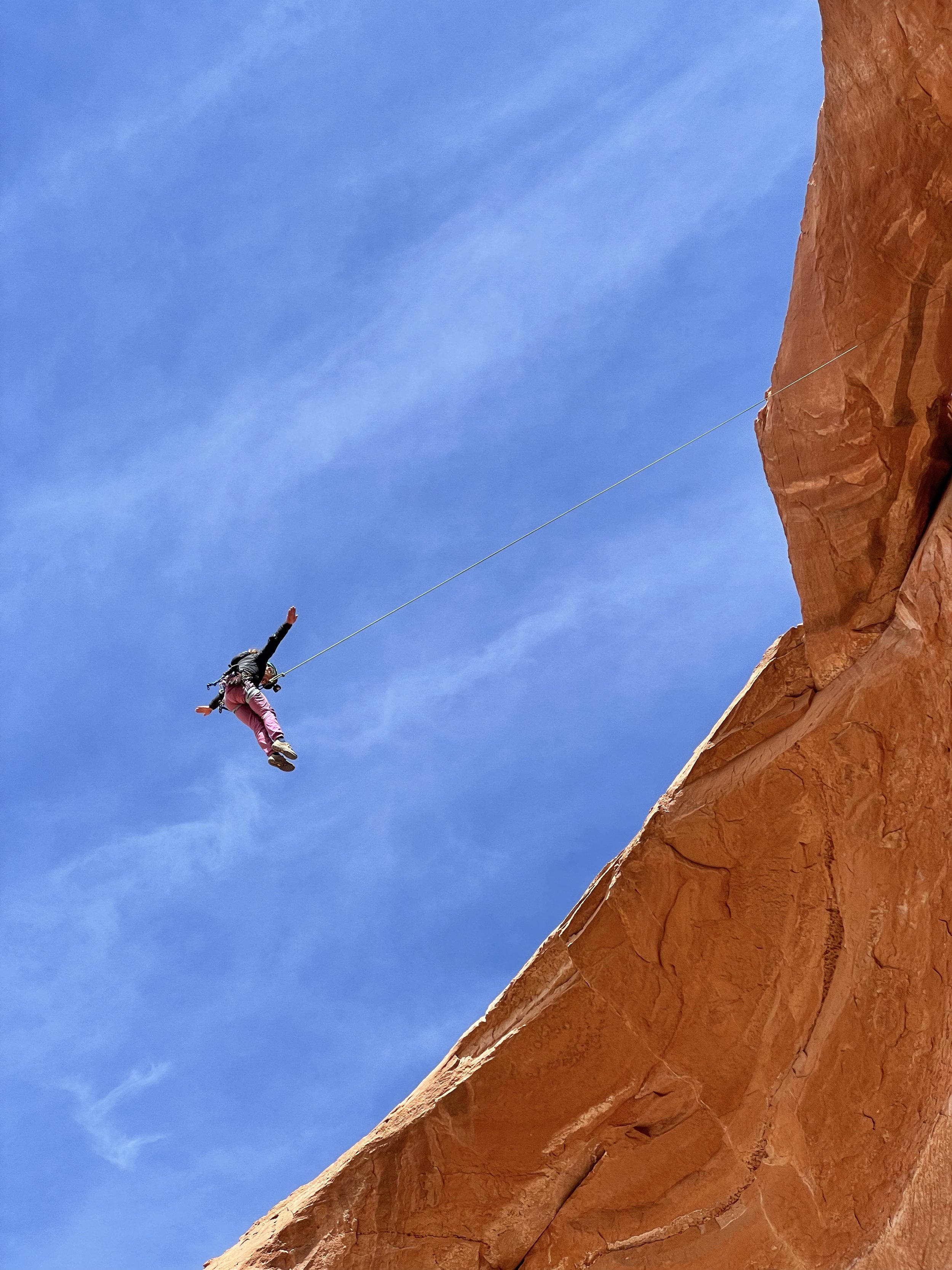
This is a great canyon to get ready for what lies ahead on your Moab canyoneering adventures.  There are two rappels on this canyon.  You will have to pay $10 park at the trailhead at Sand Flat Recreation Area.  For more beta on the shuttle and GPS route of the canyon check our roadtripryan.com. From here it’s a short hike down to the first rappel into the Medieval Chamber a 100’ drop into a beautiful slot.  After this just a hundred or so feet ahead is the last rappel 200 feet down and over Morning Glory Arch, Welcome to Utah!  When we were here (April 2022) there were two bolts with massive chains and we had enough rope to rappel down the center of the arch.  This made for a nice free hanging rappel down Morning Glory Arch and is a great way to start the canyoneering trip.

Moonflower Canyon

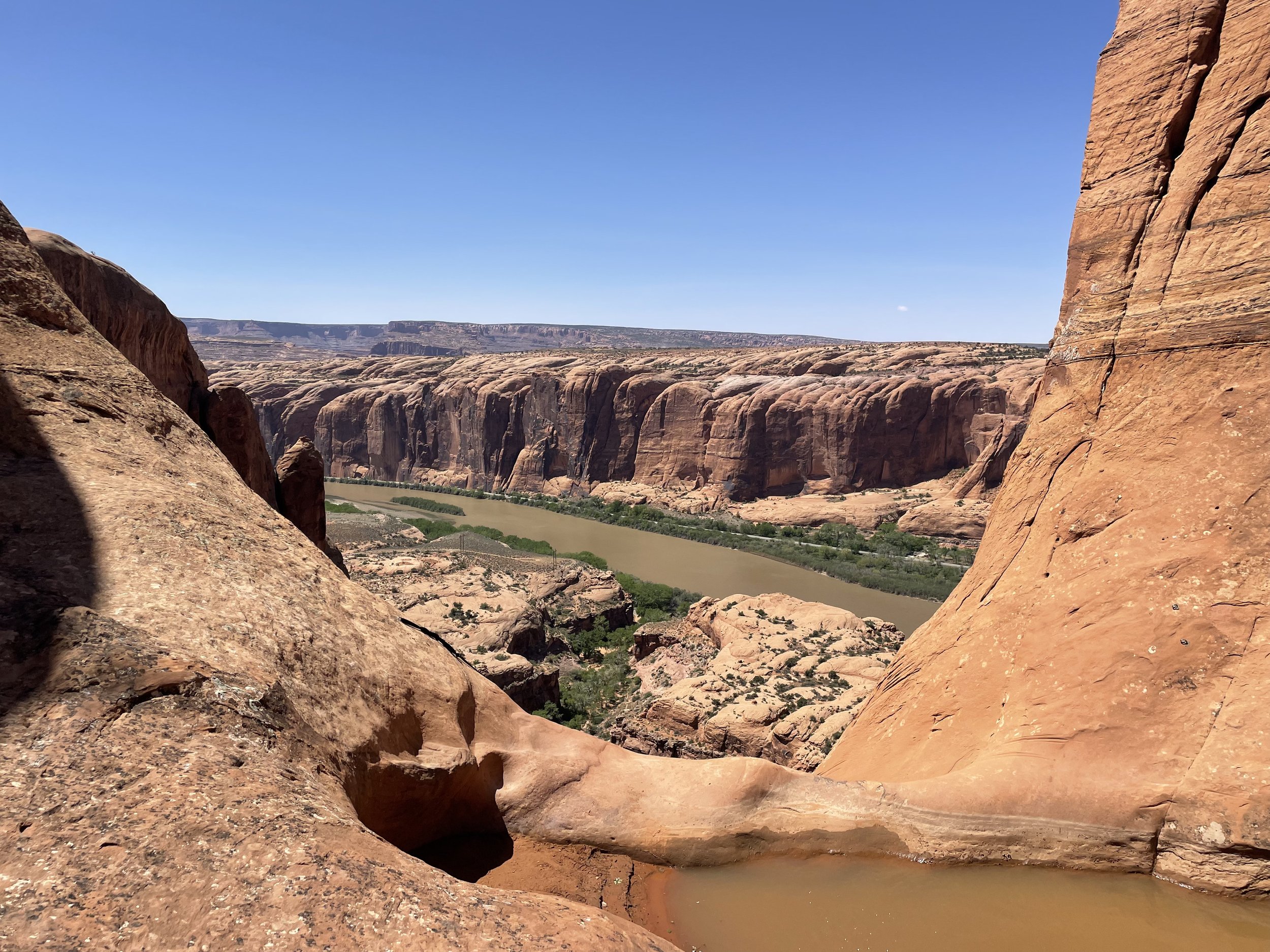
Moonflower canyon is not only a great adventure it is also an amazing place to park your van for the day and relax after a thrilling adventure down Moonflower Canyon.  Before or after you begin the adventure down Moonflower Canyon make sure to check out the Native American Pictographs to the right of the trail head.  Also there is a nice opportunity to free solo up a Native American ladder up to a stunning view of the Colorado River.  

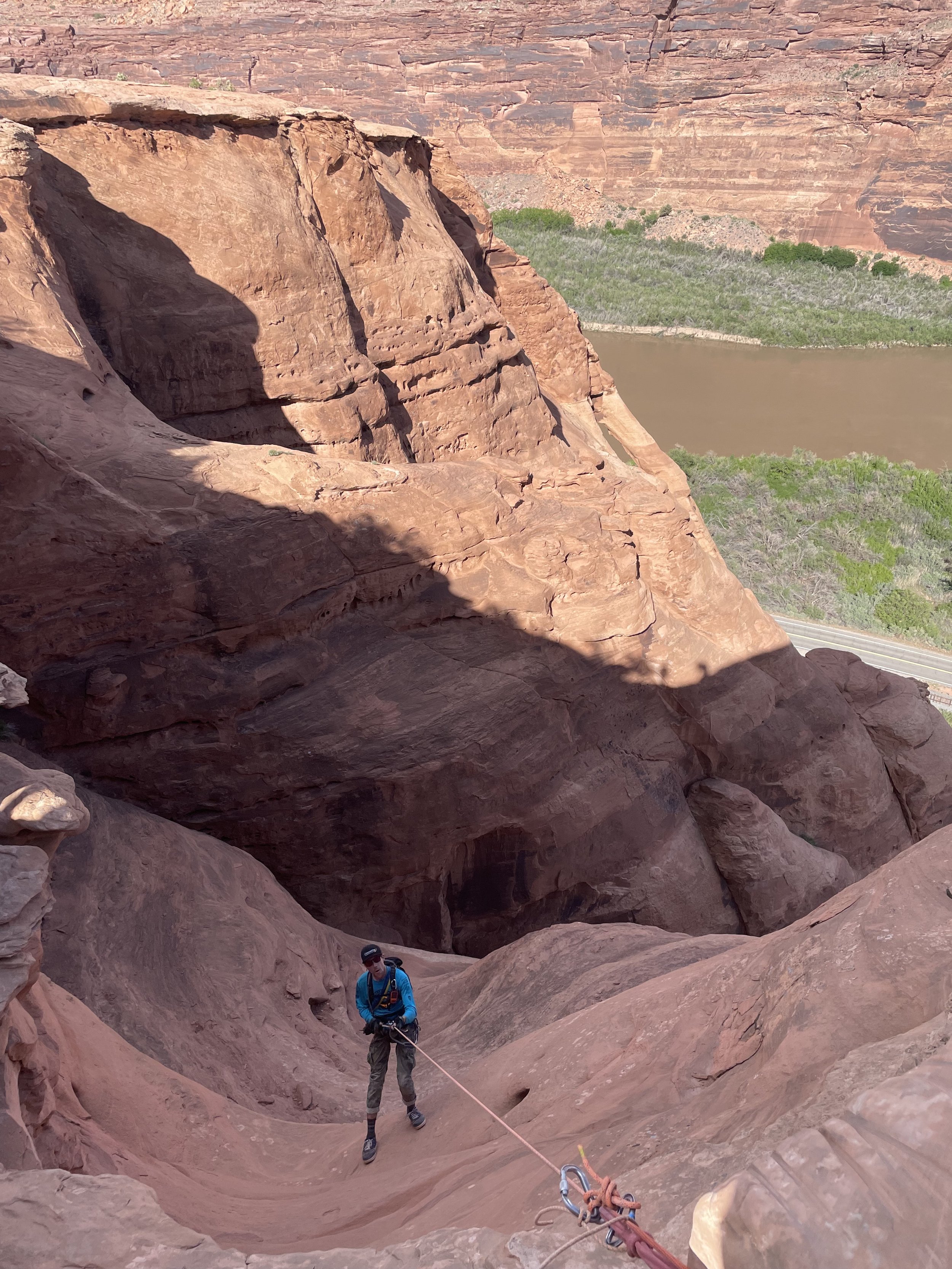
From the parking lot you’ll head east on Kane Springs Road to the Stairmaster Trail/4X4 Road.  For more beta on the trails here is the roadtripryan page.  This is a short canyon but it has a big approach with about 1,000 feet of elevation gain.  Once at the top you will very rapidly begin your decent down Moonflower Canyon to the first rappel.  There was a large pothole full of water but there is an easy escape along a hand line to get around it.  The first rappel down Moonflower is very intimidating luckily there are two solid anchors on either side for the first rappel instead fo what used to be a dead man anchor.  The first rappel is a gorgeous 200 foot free hanging drop down what seems like the edge of the earth.  After the first rap you will scramble down just a couple hundred feet to the next rappel which is just shy of 200ft.  This rappel will take some time finding the anchor but it is right down the center of the second rap.  This one is less intimidating and less free hanging but still gets the blood flowing.  After the last rappel it’s a short walk out of the canyon back to the van.  No shuttle needed.  

U-Turn Canyon

Located inside Arches National Park is a great quick morning warm-up canyon and a great way to start an adventurous day at Arches NP.  Before you head to the canyon make sure and fill out a free permit at the ranger station.  (it’s a booth in front of the first information center)

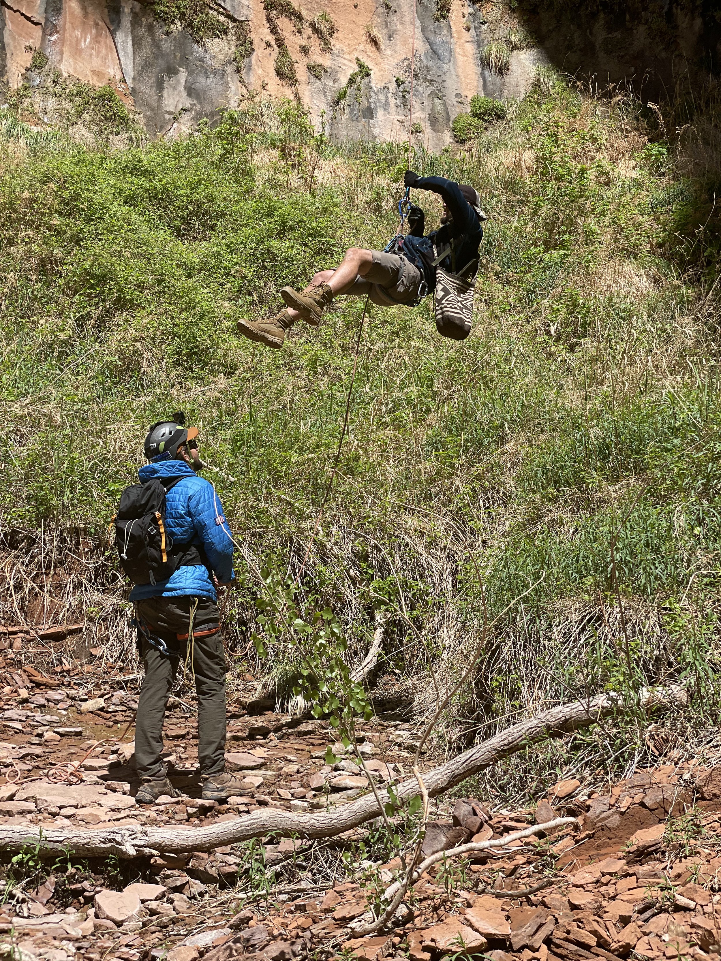
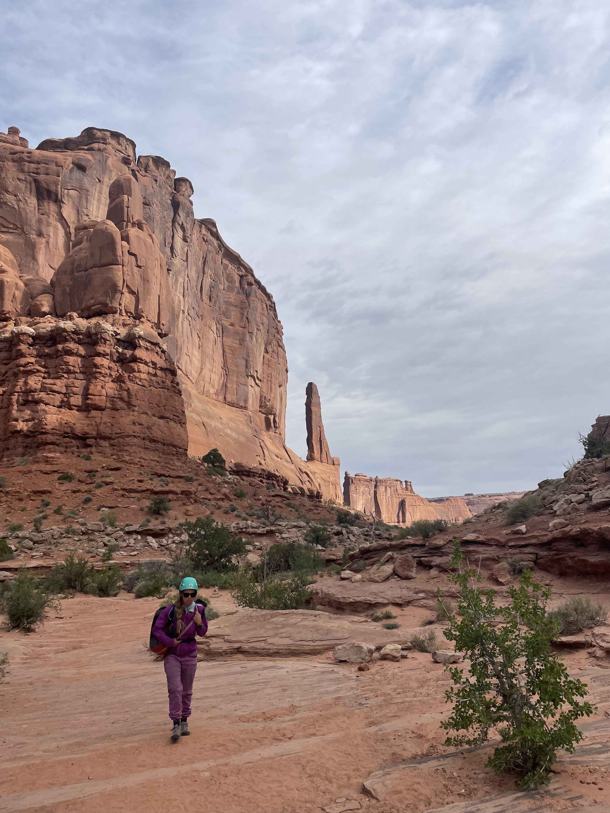
U-Turn is a great opportunity for a quick, easy, and stunning short out and back canyon.  This is a great place to take first-timers.  There are three rappels and the first two are on low angle slab so it allows the first time to get the feel for rappelling before the 120-foot free hanging rappel down into U-Turn Canyon.  

The highlight of this canyon is the last rappel into Wall Street in Arches NP.  Also this canyon is short only about 2 hours and can be combined with other canyons from the same parking lot.  

Lower Granary Canyon

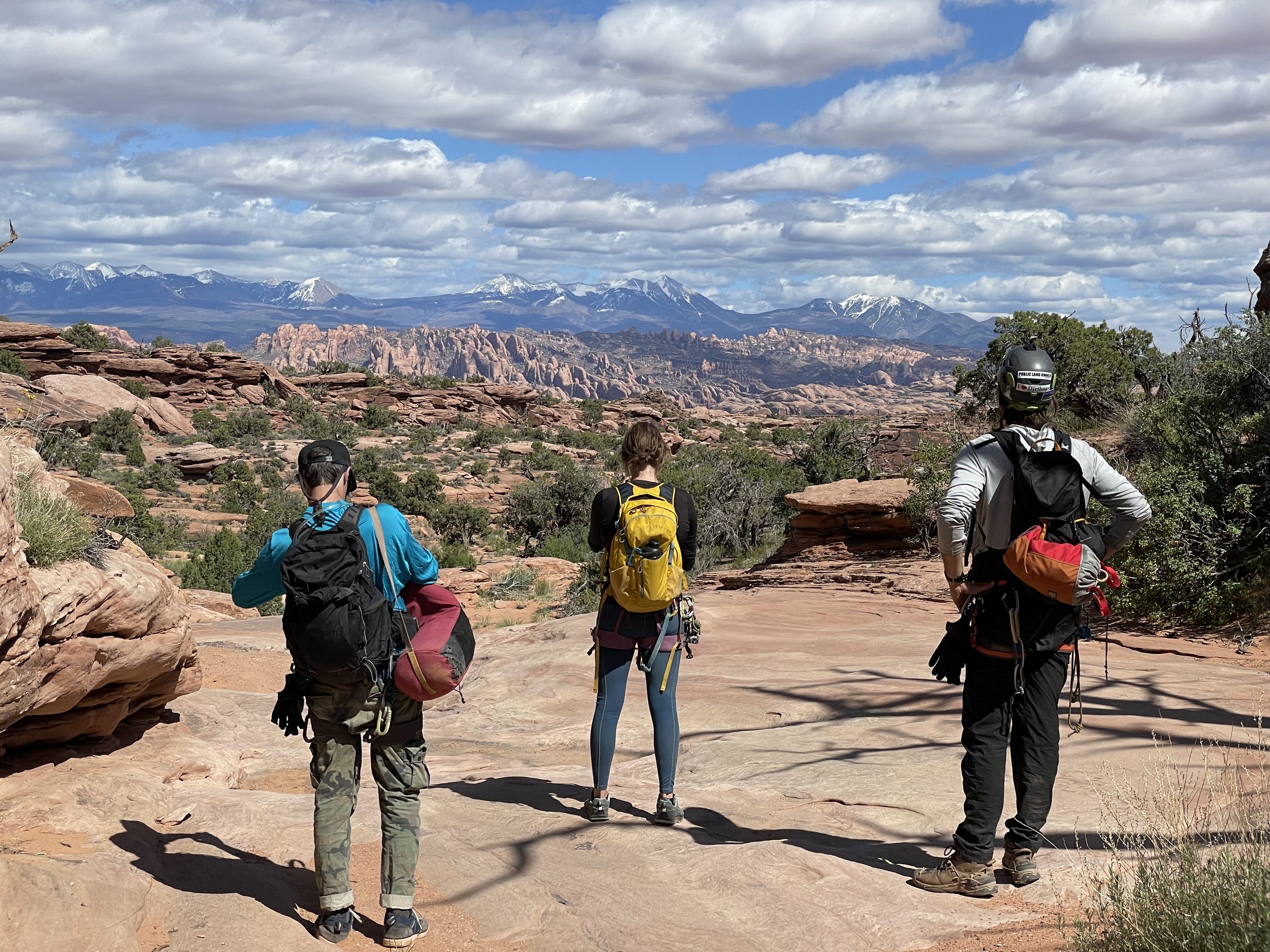
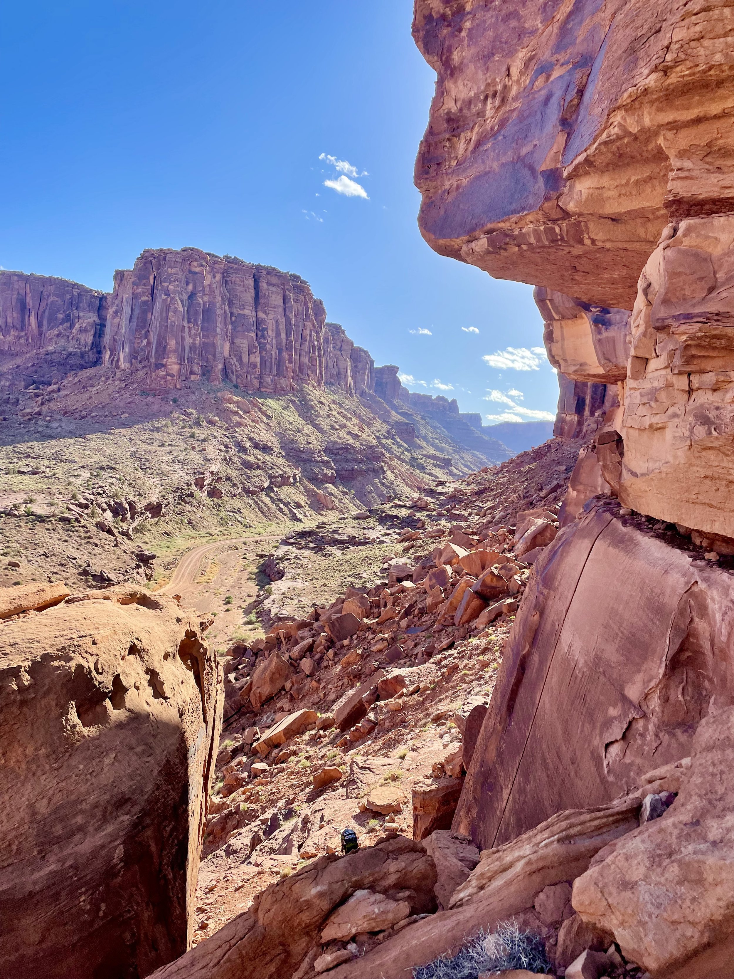
Be ready for an all-day event.  Plan for about 10 hours+ between shuttling the vehicles and doing the canyon.   You access the canyon up Long Canyon Road and it does require some ground clearance and has some spicy sections.  This canyon should not be missed by anyone on a Moab canyoneering trip.  Granary is a beautiful canyon way up on top of Long Canyon and provides panoramic views of the La Sal Mountains, Arches, and Moab.  

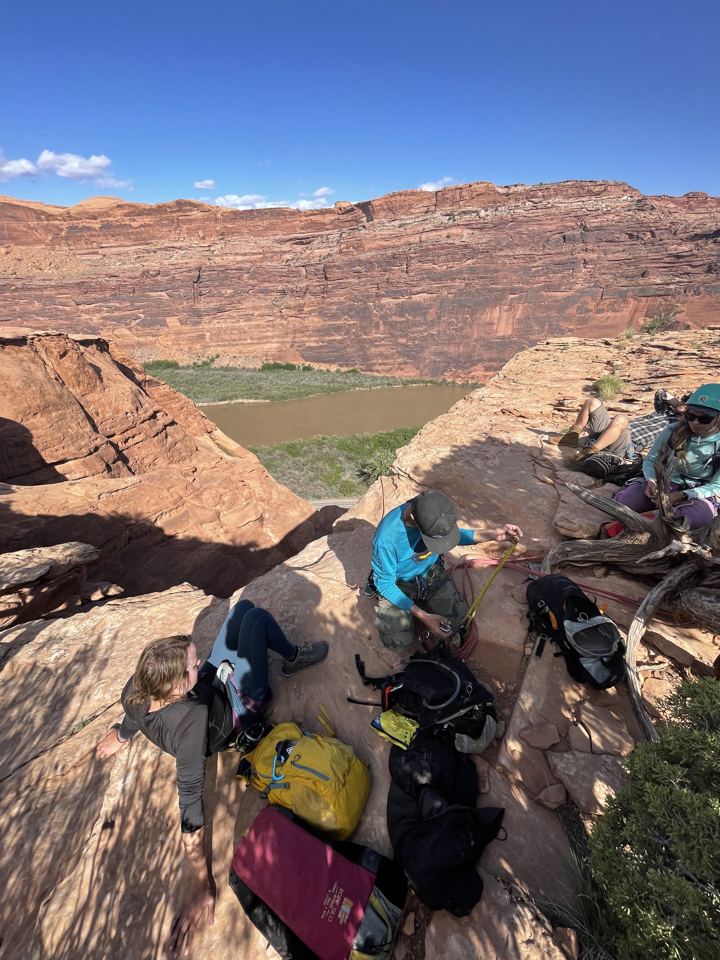
We only did Lower Granary Canyon and were fortunate enough to hitch a ride up to the refinery with an old rancher so it never hurts to stick your thumb out.  This canyon is a series of Rappels and route finding so make sure your devices are charged and there are backup maps I always rely on Ryans's Beta.  

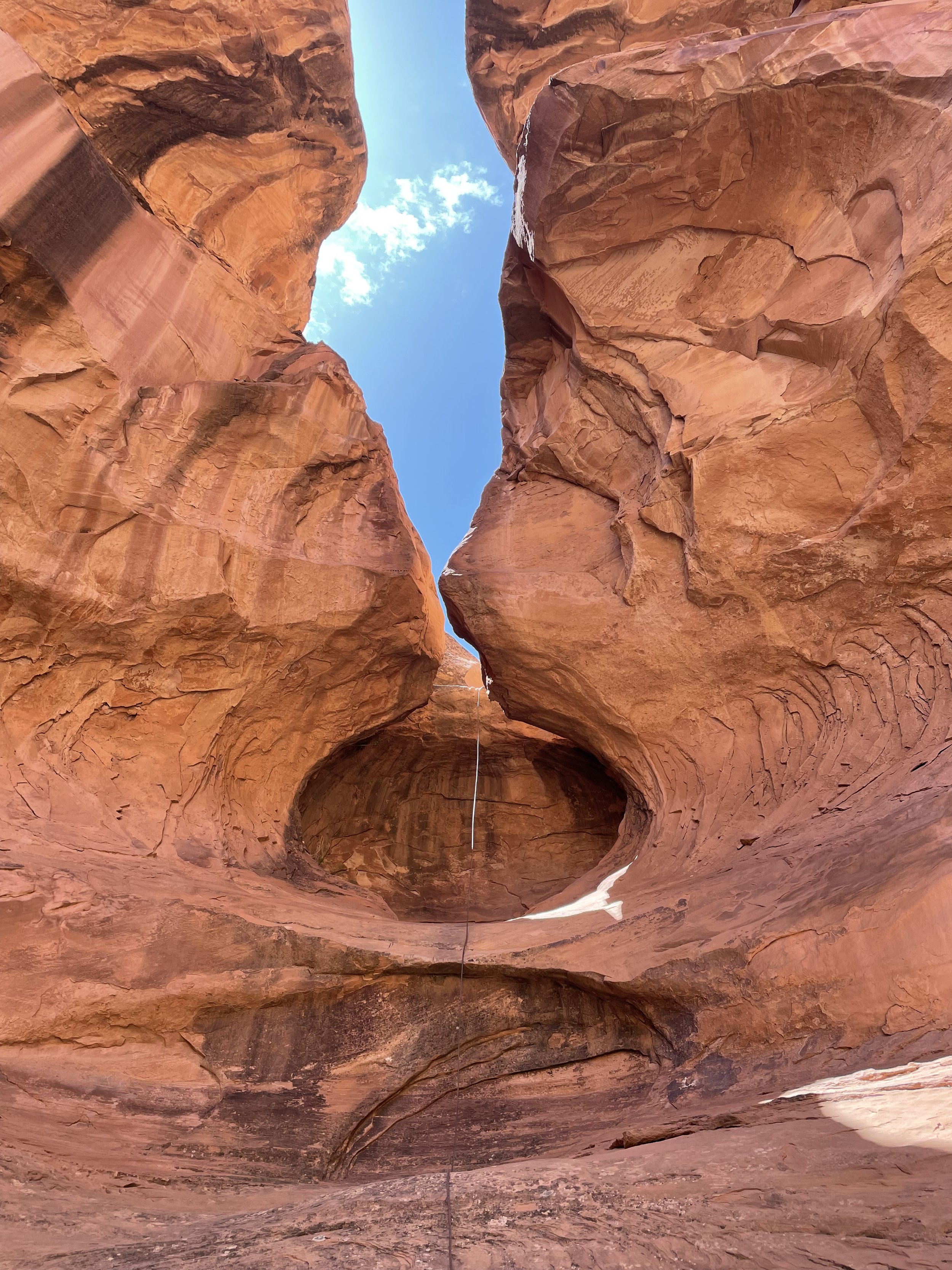
The highlights of the canyon are rappelling into a sandstone bowl rock formation (See Photos) and the last rappel 200’ near Jug Handel Arch right back to the vehicles.   

Looking Glass Rock

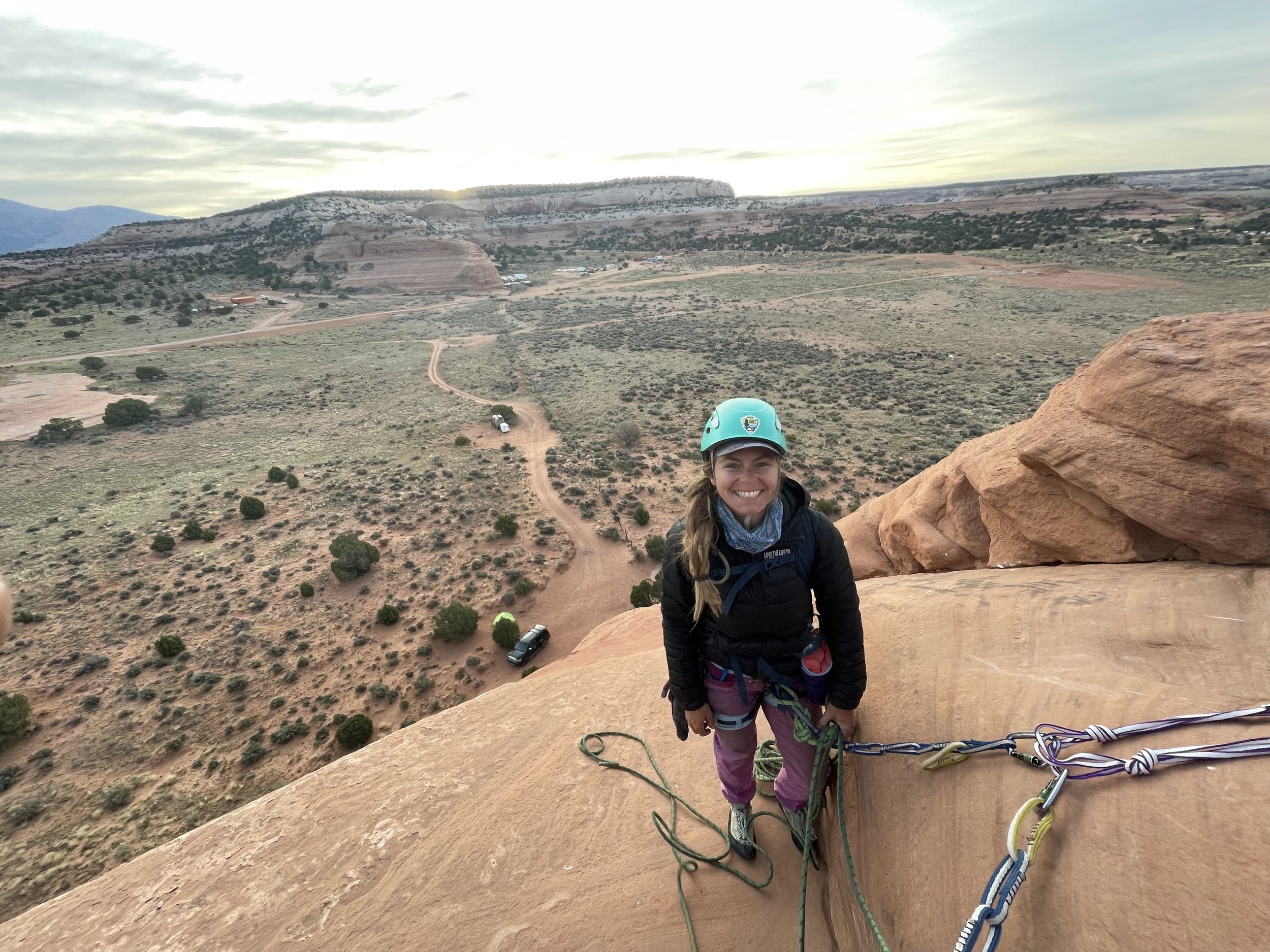
This is one of my all-time favorite adventures.  Looking Glass Rock is not a canyoneering adventure but a highly is recommended for the moderate leader when in Moab.  This is an easy 5.7, sport, 3 pitch climb up the rib of looking glass rock.  The only actual part of this climb that is a 5.7 would be the start.  Other than that and a few sections on pitch 2 I would say as a very moderate leader that it’s a 5.5 at best the rest of the climb.  The climb is well protected and it’s almost a craw/walk at the end.  

From the top you’ll locate the 165 Foot rappel.  There is a bolt set up to rappel down into the window which is highly recommended any mistake down climbing here could be fatal.  We set up a quick rap off the bolt and left our quick link there.  it’s about 7’ into the window.  

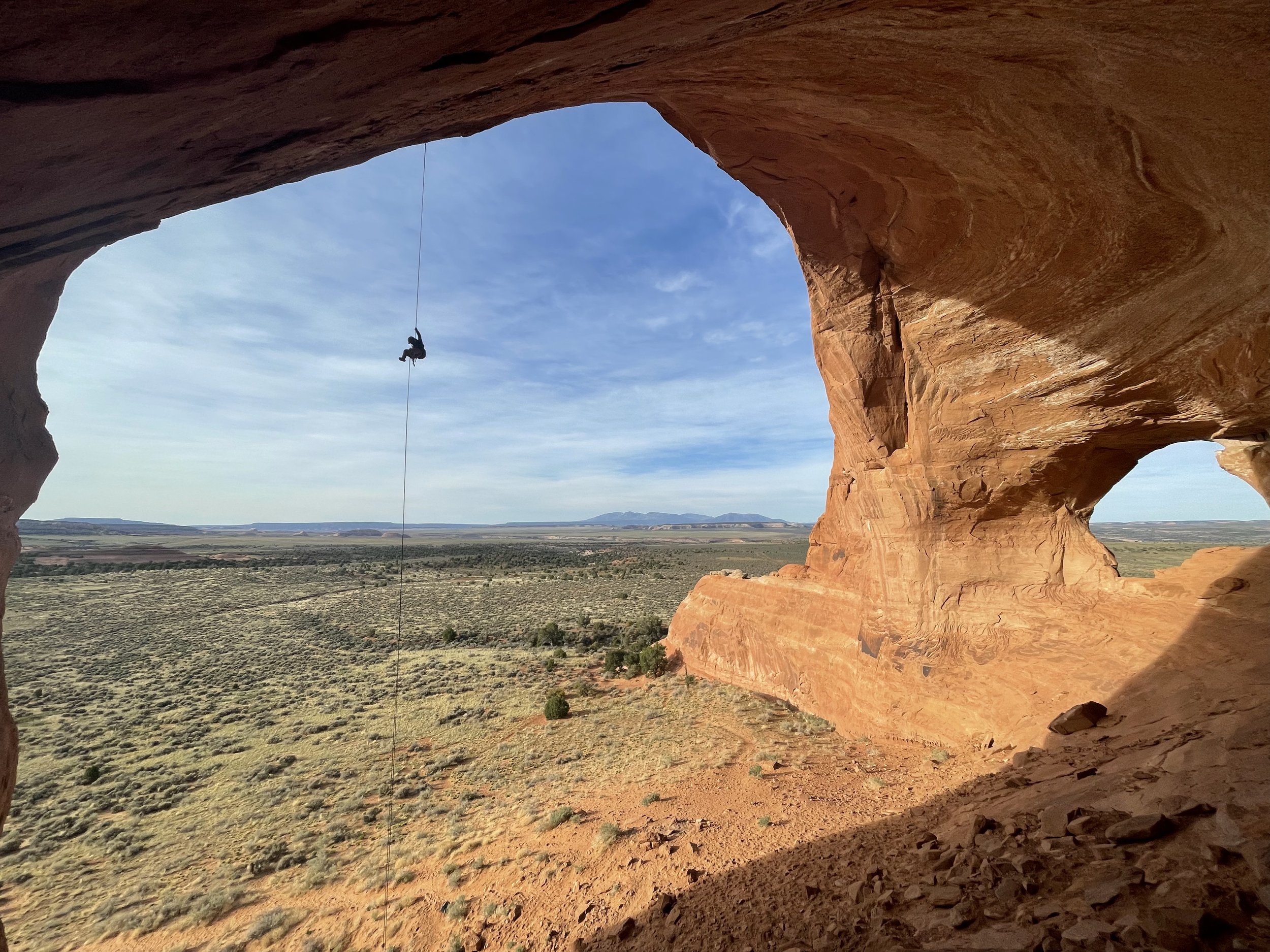
Now comes the best part one of the best free hanging rappels I’ve ever done.  This 165’ Rappel drops you out the window and into the looking glass dome it’s an amazing feeling to be dropping down into such amazing scenery.  

**Additional Rope Swing Highly Recommend!**  Once down on the ground do not untie and climb back up to the far lookers right of the dome.  You will see a bunch of bird shit on a ledge.  This is where you want to be right under the bird shit.  *It’s very important here to make sure to have your belayer take in all the slack and have you very tight on belay.  People have been seriously injured here with too much slack in the line and not anticipating rope stretch and have sustained pretty serious injuries.  Once you are tight on the belay jump off the ledge and enjoy the ride.  This was one of our all-time favorite Moab adventures.

JEM Trail - Excellent Camping and Mountain Bike Trails

Outside of Hurricane Utah lies some of the most extreme mountain biking trails in the United States.  Fortunately for us Kookz there are also some incredible moderate mesa flow trails out here in the Utah desert right outside of our front door.  

Camping and Trails 

There are two ways to access these trails and the camping one is the easy way from HWY 9 and head south on Sheep Bridge Road to get to the BLM Campsites Head East off HWY 59 to Sheep Bridge Road.  You’ll want to head down the road and camp North of here at the BLM Dispersed Camping Area.  This is a great place to camp because you can access the JEM trail from the bottom so you can ride it up and come down on the trail.  

From your campsite there are many option to get up to the top of JEM trail our favorite was to head up JEM Trail to Dead Ringer and the back down JEM Trail.  Don’t forget to go all the way to the end of JEM Trail past where you camped for an epic ride along the Virgin River Rim.  

From here your only 30 minutes from Zion.  For some fun adventure ideas in Zion check out these hikes.  

Like any other dispersed camping area this is has a 14 night limit and has no services and a drop toilet at Sheep Bridge Trail Head.  

Canyoneering in the Robbers Roost - Hanksville, Utah

Canyoneering in the Robbers Roost - Hanksville, Utah

Just East Outside of Hanksville Utah lies Robbers Roost. A large desert swath of deep, dark, and dangerous canyons with long exhausting exit routes. There are quite a few options for the adventures canyoneer out here in no man’s land. Each canyon is about a 40-mile drive on washboard dirt roads to get to but the journey is worth it and you will find true solitude in these slot canyons.

Utah's Best Kept Secret Slot Canyons

Utah's Best Kept Secret Slot Canyons

We set off for a full on canyoneering experience in southern Utah. Our original plans were to do some technical canyoneering in Zion National Park, but upon arrival to the Disney Land like scene at the Park we decided that we wanted a more authentic adventure away from the busy canyons and guided tours inside the National Park.

See how we found solitude and adventure in a less used corner of the state.

Hiking the Narrows, Spring vs Summer

Hiking Zion Narrows Spring summer what to bring

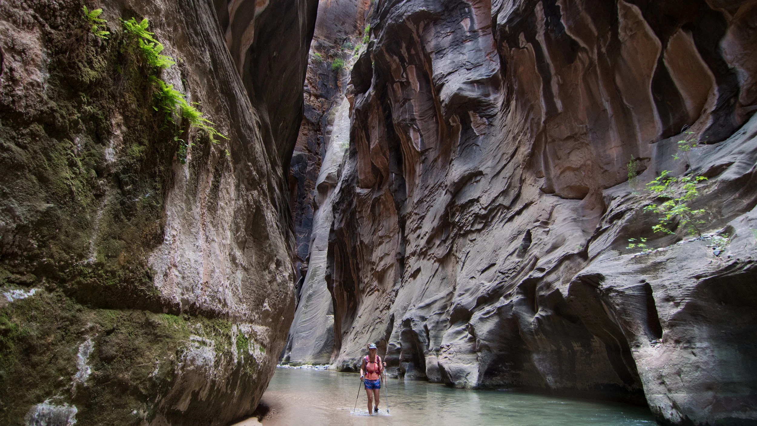
The Narrows,  in Zion National Park, is one of the most well known and visited slot canyon hikes in ZNP. 

The Narrows starts at the last stop on the Park shuttle bus, the Temple of Sinawava. You will get off the bus and follow the river walk trail for about a mile to where the side walk ends. 

Then, as the trail continues, it is basically up the Virgin River. So plan on getting wet, very wet. Sometimes you are up to your ankles and sometimes you are up to your waist wading through water, zig zagging from high shorelines to low shorelines. 

You may go as far up the river as you feel comfortable. Then, you will turn around and retrace your steps down river, making the hike as strenuous as you wish to make it.

Is this hike seasonal?

This hike is mostly seasonal and ultimately dependent on water levels. The beginning of the hiking season is dependent on runoff and water levels if they are low enough to send hikers through. For instance, you typically don’t need a backcountry permit to hike the Narrows, but if the water levels are above 120 cfs, the Narrows will be closed to hikers. 

If it is over 150 cfs, the wilderness desk will probably be issuing kayaking permits for the Narrows, not hiking permits. Even with open hiking allowed with a water flow of 100 cubic feet per second, it is still pretty difficult and dangerous. While a flow of around 50 cubic feet per second, this indicates a relatively easier and safer hike.

Typically, the Narrows hiking seasons are Summer and Fall, where the water levels are pretty low and the water temperatures are pretty warm. We have hiked in both the spring and mid-summer and there are some huge differences we wanted to talk about here. 

Hiking the Narrows in the Spring 

Hiking the Narrows in the spring

We have visited Zion in Spring two different years 2017 and 2018. Water levels and run off levels were dramatically different.

May 2017, they were issuing the last of the Kayaking permits for the Narrows. So we didn’t even think of hiking those rapids. 

March 2018, earlier in the year and a couple days before the Spring Break madness, the water levels were actually low enough to allow hikers and there was no rain in the forecast.  So, we jumped on the opportunity. 

The water temperatures in late March were cold. There were less hikers than we saw in the summer, but there still a lot of hikers. About 98% of them were in rented Dry Suits and the Adidas waterproof Ankle supporting boots. 

Being thrifty vanlifers and having everything we need all the time, we avoided spending $55 on drysuits, as we threw on our  5/4 winter wetsuits, 5ml booties, and hiking poles. We were warm. It was perfect. To be honest, our foot and ankle muscles got quite the work out tho! If you have weak ankles, I would not recommend the booties, as the rocks are slippery and covered in algae and the booties offer no ankle support. Wear some hiking boots that offer ankle support. 

Others that are in our group did not have wetsuits and were not interested in paying $55 in rental gear to hike the Narrows. So they layered up and wore wool clothing items, hoping the wool would keep them warm even when wet. 

They toughed out the cold water temps for as long as possible, but we ended up turning around a little before Wall Street. Feeling like we didn’t “finish” the hike from turning around early, we needed to go back!

Hiking the Narrows in the Summer

narrows hiking in summer what to bring equipment (1 of 1).jpg

In late May 2018, we crossed Utah again and made the mandatory Zion detour. We needed to hike the Narrows as far as we could go.

This time it was a completely different experience. It was summer. There were heaps of people all along the river bank swimming, playing, picnicking, not just hiking. This is the spot to be in this park on a Hot summer day. The shadows created by the tall canyon walls keeps the canyon pretty mild. It is a great escape from the heat. 

This time around, we hiked in shorts, tank top, and hiking boots. We were sure to bring extra layers, because being wet and in the shadows can be pretty chilly no matter how hot of a day it is outside that canyon.

What was the main difference?

narrows hiking in summer what to bring  rentals equipment (1 of 1).jpg

The main difference between the two times of year was the air and water temperature. 

In the Spring, mostly the prepared and dry suit equipped braved the cold air and water temperatures. If we didn’t have a wetsuit, we would have been in a lot of layers, like our friends, just to stay warm from being soggy in the cooler air temps. 

In the Summer, it was a shady oasis for all looking to escape the heat. It was a very busy hike up stream with the groves of other tourists that varied in skill levels and ages. 

Things to remember

Flash floods can occur from storms miles away from the canyon, even if there is no rain predicted in the National Park. Make sure to check for potential weather in the area before you go hiking in any narrow canyon. Water levels can raise 12 feet within minutes, with no high ground to scramble to. Please take this seriously!

Bring some shoes with ankle support. And use a walking stick or hiking poles to give yourself more points of contact while hiking upstream. 

Bring a headlamp. It gets dark in those canyon as the sun sets. To be on the safe side, make sure you carry an emergency light source, it could help you from spending a dark and unintended cold night in the canyon.

If you don’t have a Dry Bag, this would be the time to get one for your electronics that you would like to bring that you do not want to get wet. 

Slot Canyons, Arches, and Waterfalls - 3 easy Escalante Day Hikes

Zebra Canyon Escalante Utah

Grand Staircase-Escalante National Monument is a massive area that could take you a lifetime to explore.  It’s one of our favorite places for solitude, amazing geological formations, and night skies.  If you’re just passing through Escalante on a road trip, here are a few short day hikes we highly recommend. 

Lower Calf Creek Falls

Lower Calf Creek Falls

This is a relatively flat (5.8 miles) easy hike on sand and slick rock to Lower Calf Creek Falls (126 feet). Upon arrival to the falls, it seems as if you have reached a desert oasis. The air near the waterfall is crisp and cool, almost too cool for that dip we were talking about the whole hike. There is also camping, on site, which looks pretty awesome, but busy.  The hike is scenic with classic southern Utah rock formations and a refreshing creek to cool off in.  

Escalante Natural Bridge and Indian Ruins

Escalante Hiking

Just a short 4 mile round trip hike off HWY 12 will take you to the Escalante Natural Bridge.  This is a very easy hike, it’s more of a stroll along the river.  You will have to cross the river multiple times, but it is quite refreshing.  After about 5 river crossings you will come to the natural bridge.  This is a great place to relax in the river and cool off.  If you want to extend the hike, you can head about another mile to a natural arch where you will find a pretty awesome Anasazi cliff dwelling ruins. 

Hole in the Rock Road - Slot Canyons

Zebra Slot Canyon Escalante Utah

A long bumpy ride down Hole in the Rock road will lead you to the trail heads of both Zebra and Spooky Slot Canyons.  Note: Hole in the Rock Road is a very bumpy road our van almost rattled to death on the journey to and from these slot canyons.  The trails are short, but there is little or no shade. So, bring water and appropriate head wear and more water than usual. Zebra slot canyon is a longer hike at around 6 miles. There is also another canyon called Tunnel Canyon, this will add an additional 2 miles and some navigation skills.

Southwest Desert Road Trip

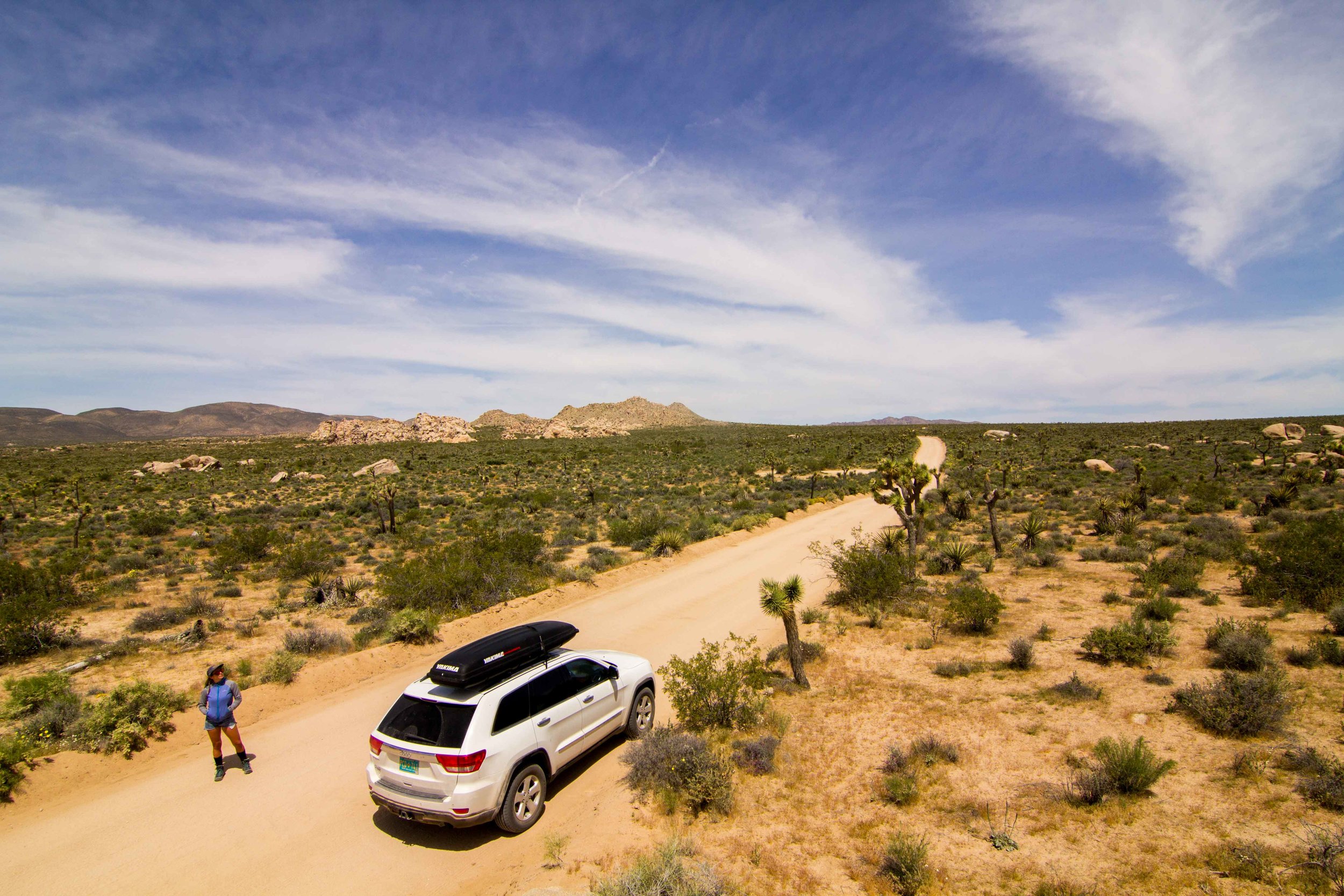
We arrived in LAX after our trip abroad and were ready to get back on the road.  We were fortunate enough that our good friend Omar was in need of an adventure.  We joined forces and decided that we should tour the Desert SW back to our hometown Albuquerque, NM.  It was late April, so we figured the weather wouldn't be too hot.  We crammed all our gear in to Omar's Jeep Cherokee and began our to be 1,600+ mile road trip with 0 plans, but to have fun and explore new countryside.  We left the first port city of Venice, CA, after some amazing surf and headed towards our first desert alien landscape.  

Camping at Joshua Tree NP

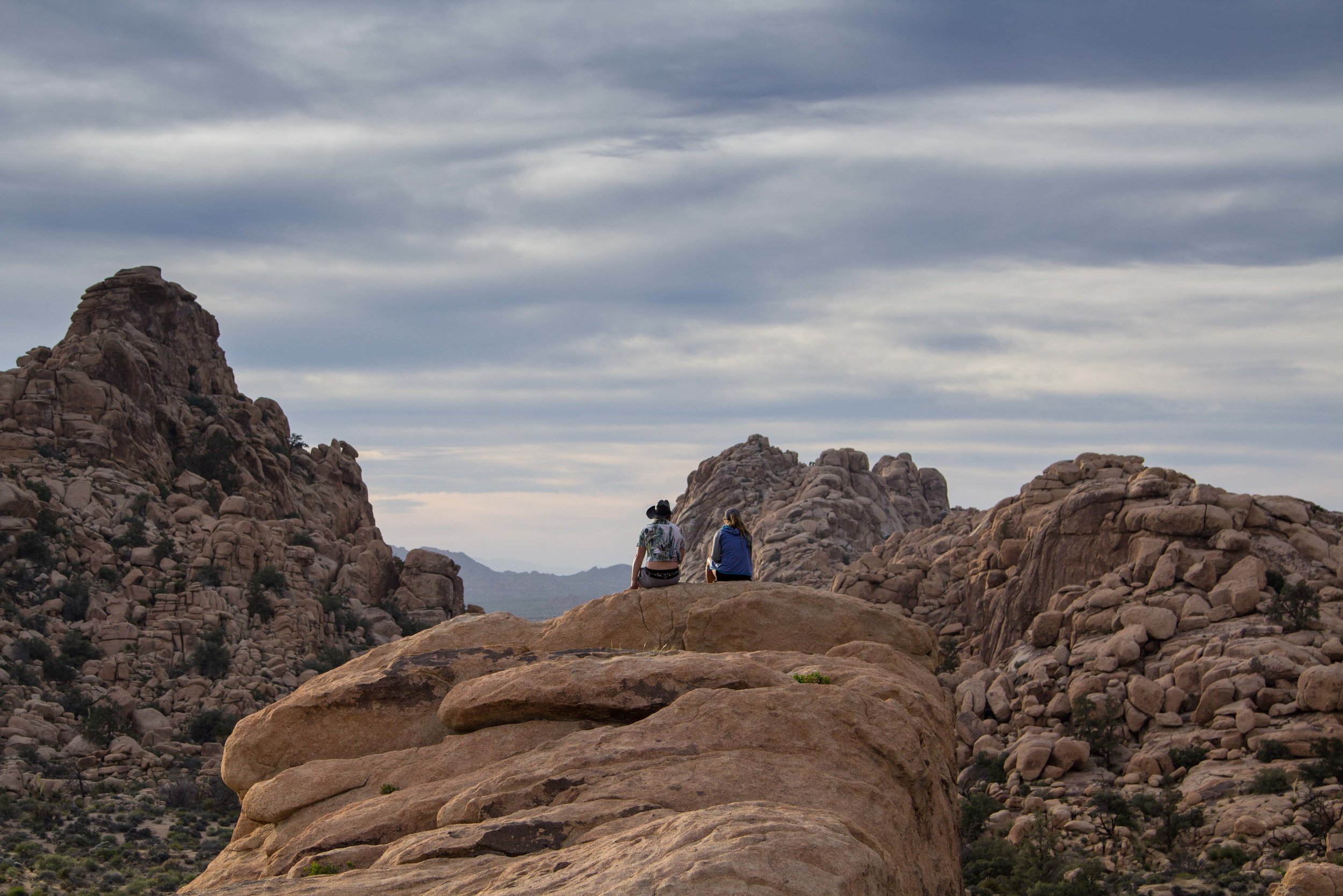
We entered the Joshua Tree orbit around noon.  The first thing I would highly advise is buying the $80 America the Beautiful pass. It worked at almost every planet we landed on.  We bought our pass headed to Big Rocks Campground ($15 per site).  J-Tree is a mix of exotic granite rock formations and awkward Joshua Trees scattered throughout this bizarre landscape as far as the eye can see.  This is a great place for rock climbing and Scrambling around.  We explored and climbed around at the Hall of Horrors and Hidden Valley. We would definitely recommend these two spots.  There is amazing rock climbing, scrambling, and photo options at these spots.   

That night we stayed up a bit for star gazing and photography, but were shut down by a thin as cloud layer.  We woke up and cruised for a while on the Geology Tour Road to check out the park more, explore, and take some pictures.  After about an hour or driving, we left J Tree’s orbit and blasted off to another dimension.

Camping rock climbing hiking Alabama Hills BLM

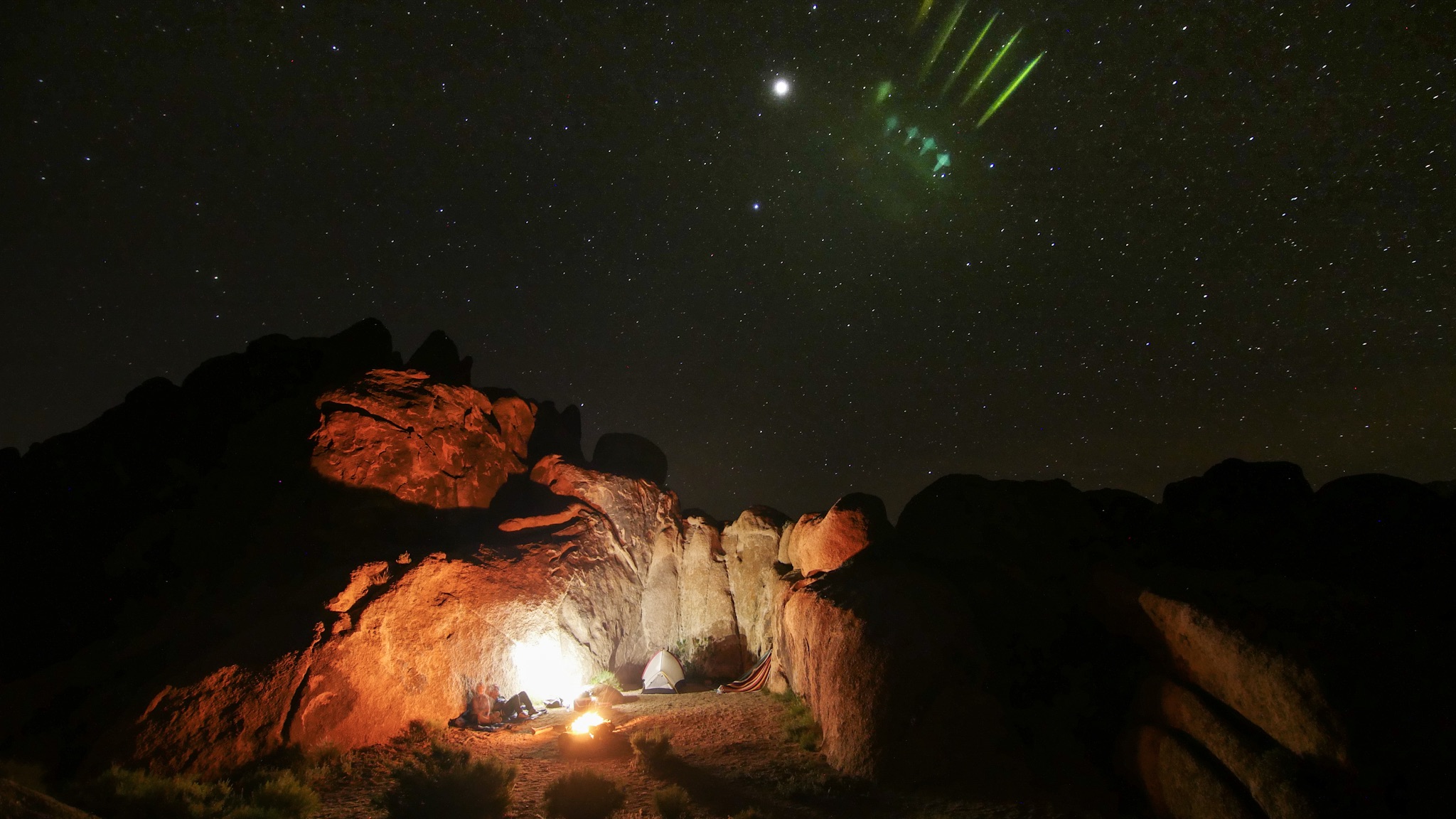
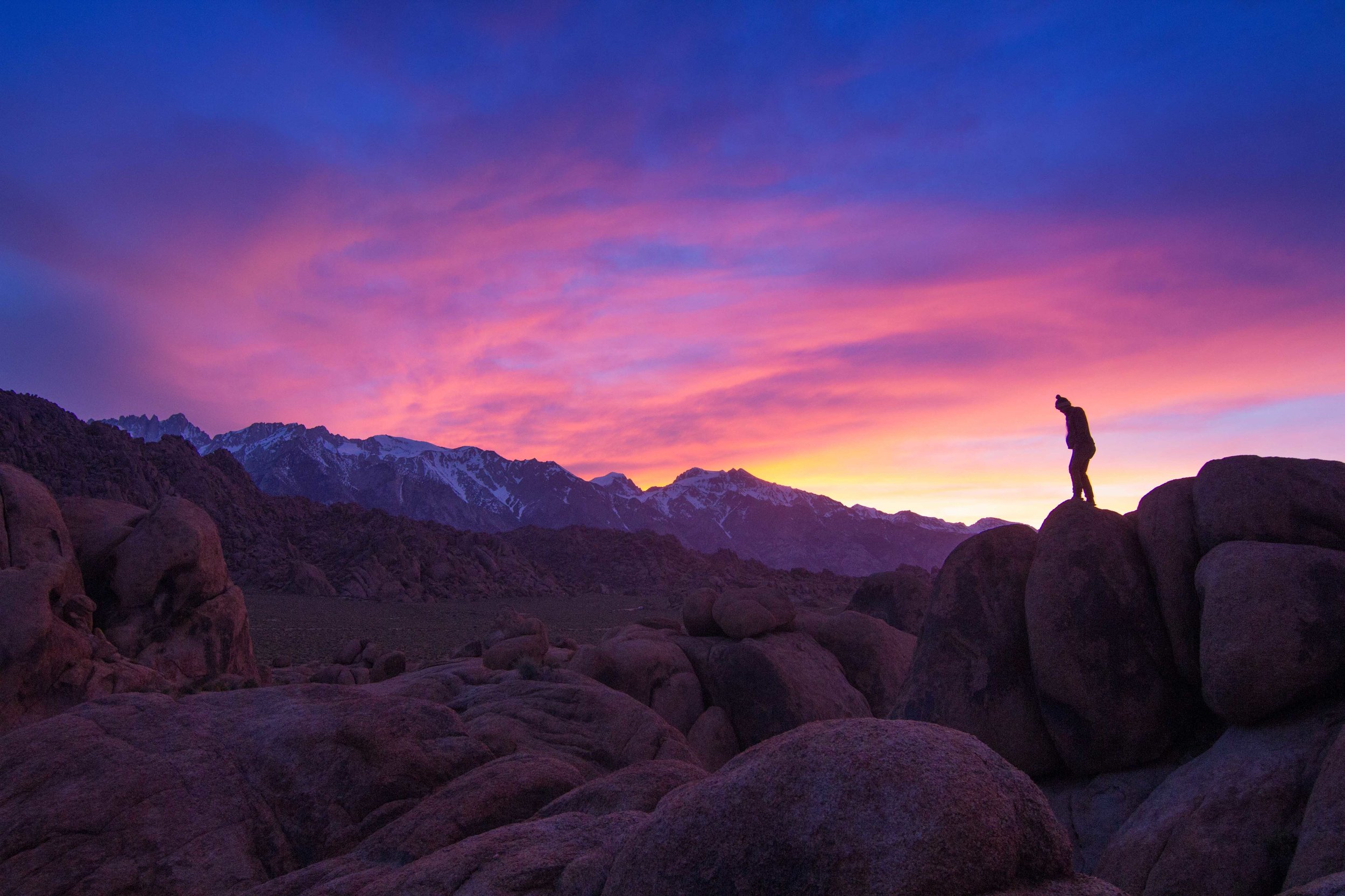
The Alabama Hills BLM land outside of Lone Pine, CA, is camping heaven.  Upon surveillance, this alien landscape seemed to be something out of another galaxy.  Amidst the enormous rock fields, stands Mt. Whitney, at 14,505ft, looming down on the valley below.  ‘Bama Hills is on BLM land where dispersed camping is allowed.  However, it is on you to clean up after yourself. There are no toilets. So, come prepared.  

After our first night of camping, we woke up and did the very short loop hike to the Mobius Arch.  We then headed up to the Mount Whitney Portal to check out some hikes.  After a heavy snow season, we were shut down pretty quick on the trails up at the Whitney Portal.  We did learn that permits for hiking Whitney in the summer are required. So, look into obtaining one before you head up. 

After some 4x4 and beers, at an old cowboy bar in Lone Pine, we arrived at a very wind destroyed campsite.  After getting camp set back up, we settled in for what was one of our windiest nights of the trip.  We woke up the next day had breakfast and hit the road for a long haul to Nevada. 

Death Valley National Park

We exited the Alabama Hills solar system and hit hyperdrive and time warped to a new desert planet. Death Valley is a drive through park, meaning a majority of the experience is driving through the park, at least in the summer.  I could imagine some amazing activities in the other seasons. 

We stopped and made lunch at one of the first outpost we saw.  It was already heating up and I couldn't imagine this place in the midst of summer.  We set down our landing gear on the Beatty Sand Dunes and walked until the footprints started to subside it was already 96 degrees in late May.  Down the road a bit is Zabriskie Point, which is an amazing overlook over the Zabriskie Badlands.  There looks to be an amazing hike, if you were around in the fall/winter and it was cooler, but the heat was too much. So, we just took a few pictures and explored for a bit before we headed on. 

Red Rocks State Park Nevada

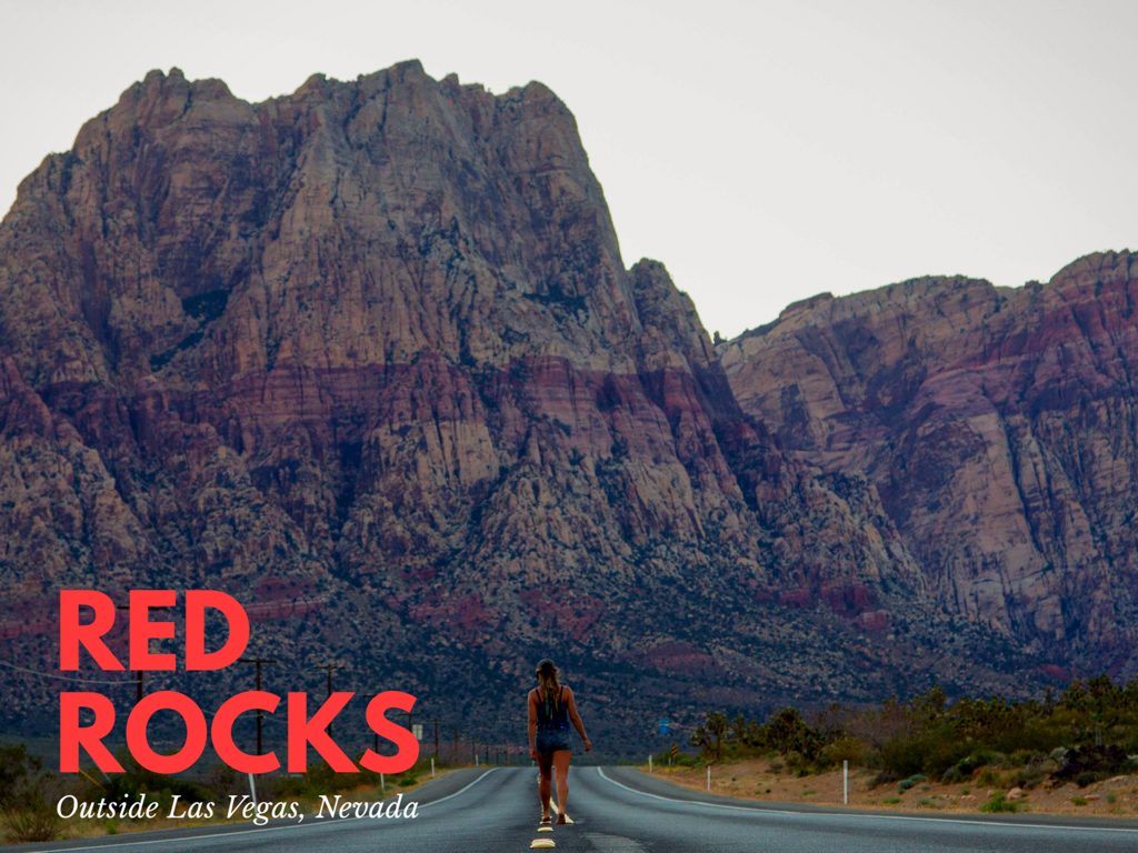
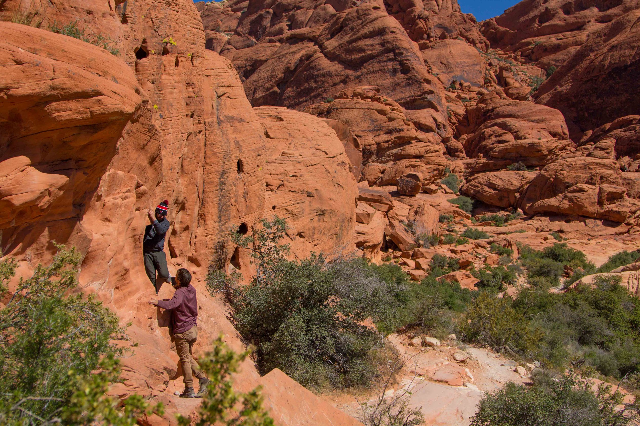
A few miles outside the bright lights of The Las Vegas Spaceport lies a gem known as Red Rock Canyon.  The mars like terrain will have you feeling as if you were actually on the red planet.  If you want to score a campsite at the Red Rock Canyon Campsite ($10 Per Site) you better be there early.  We showed up and it was completely full.  We ended up having some fellow travelers allow us to stay with them since they were just crashing in their amazing van.  We got in set up camp cooked and had a good chat with our neighbors.  We woke up the next day and headed into Red Rocks Canyon.  We hiked around Calico Basin for about 3 hours climbing and scrambling around and getting lost in dark red slot canyons.  We cruised around the park took in the views and started our auto pilot for Las Vegas.  

Valley of Fire Las Vegas Nevada

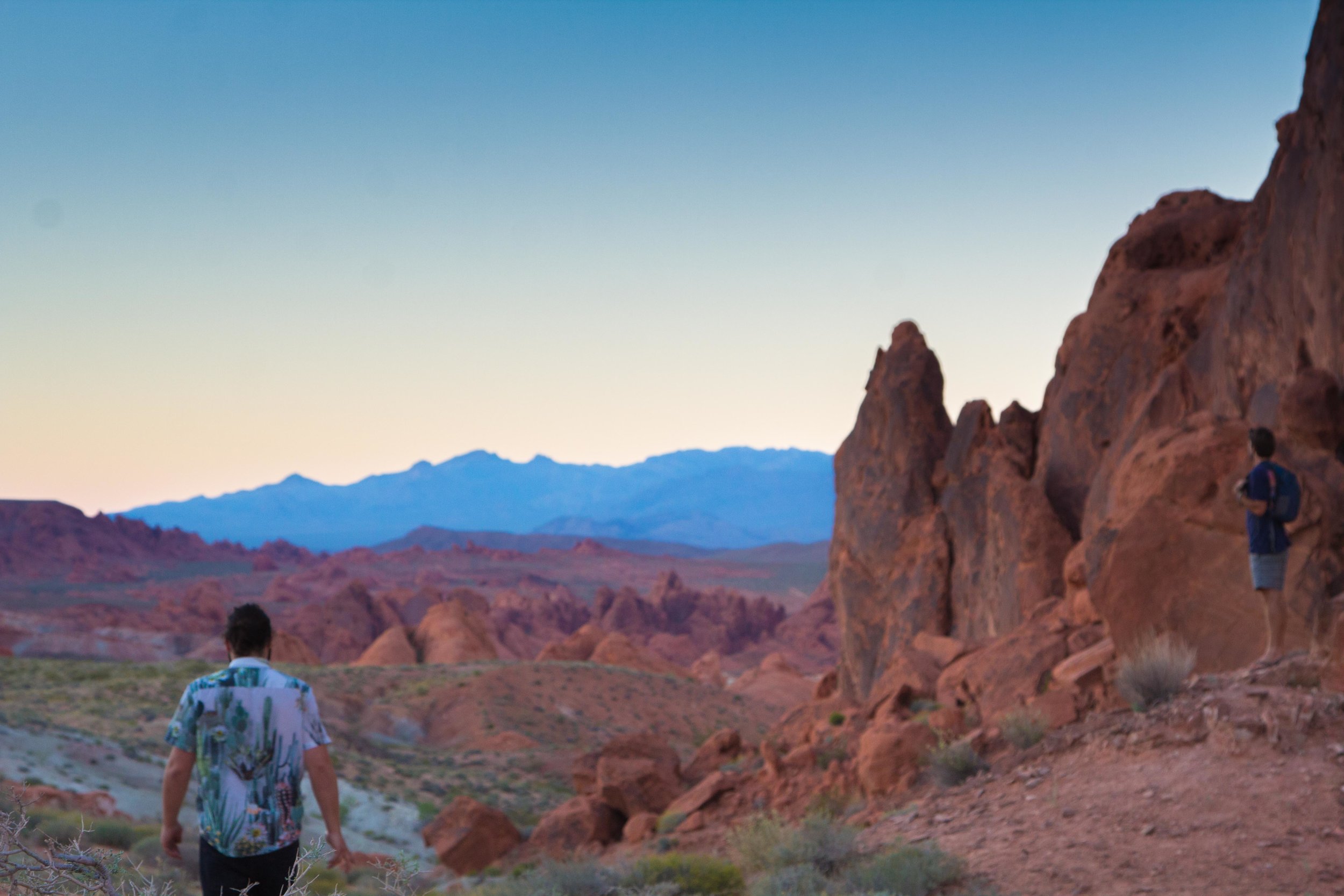
After indulging in provisions in the wild space port Las Vegas, it was time to set our sights on a new frontier.  We set out for St. George, but as most vessels leaving Vegas, we had a very delayed take off.  We headed toward Lake Mead and our radar picked up the Valley of Fire State Park.  We decide to veer off track and check it out.  We arrived late and the gates were open.  Driving through this park seems like something out of the Martian.  There seems to be lots of hiking activities in the park.  Its even amazing just driving though it if it’s a blistering hot summer day.  After little or no trip research, we headed straight to the Fire Wave.  It takes about 20 minutes to walk to this rock formation with amazing rock coloring.  We shot pictures until it was too dark and headed on.  That night we slept in the middle of nowhere, where a dirt road ended, definitely the worst campsite of the trip, but it was free.  

Zion National PArk Angels Landing

Zion is an amazing place!  I had no idea the size of this park before arriving.  Massive sandstone peaks with names like The Great White Throne, and The Alter of Sacrifice tower over a thousand feet above the valley floor.  Per usual, we were very unprepared for the busy National Park and had no reservations or any clue what we were going to do inside the park.  We got very lucky scoring a spot in the Zion South Campsite later in the day, (We literally just asked someone if they would share with us because of course the site was full.)

We set up a quick camp and set out for the Hidden Canyon Trail.  The Zion Canyon Road is only accessible via a shuttle system but it’s fast and effective.  We took the Shuttle to the Weeping Rock Stop.  The hike up to the Hidden Canyon is an awesome track that exposes you to trails along huge cliff faces.  It is a climb to access the Hidden Canyon, but it’s not anything too difficult.  We went up and back in about 3 hours.  If we had more daylight we would have done the trail to Observation Point, which is supposed to be on of Zion’s best overlooks.  
We woke up the next day, ate breakfast and prepared snacks and provisions for Narrows and Angels Landing.  Unfortunately for us, The Narrows were closed due to high water levels.  We didn't want to hike Angels Landing in the middle of the day due to crowds. So, we hung out in the valley for a bit and headed to Angels Landing around 4pm. 

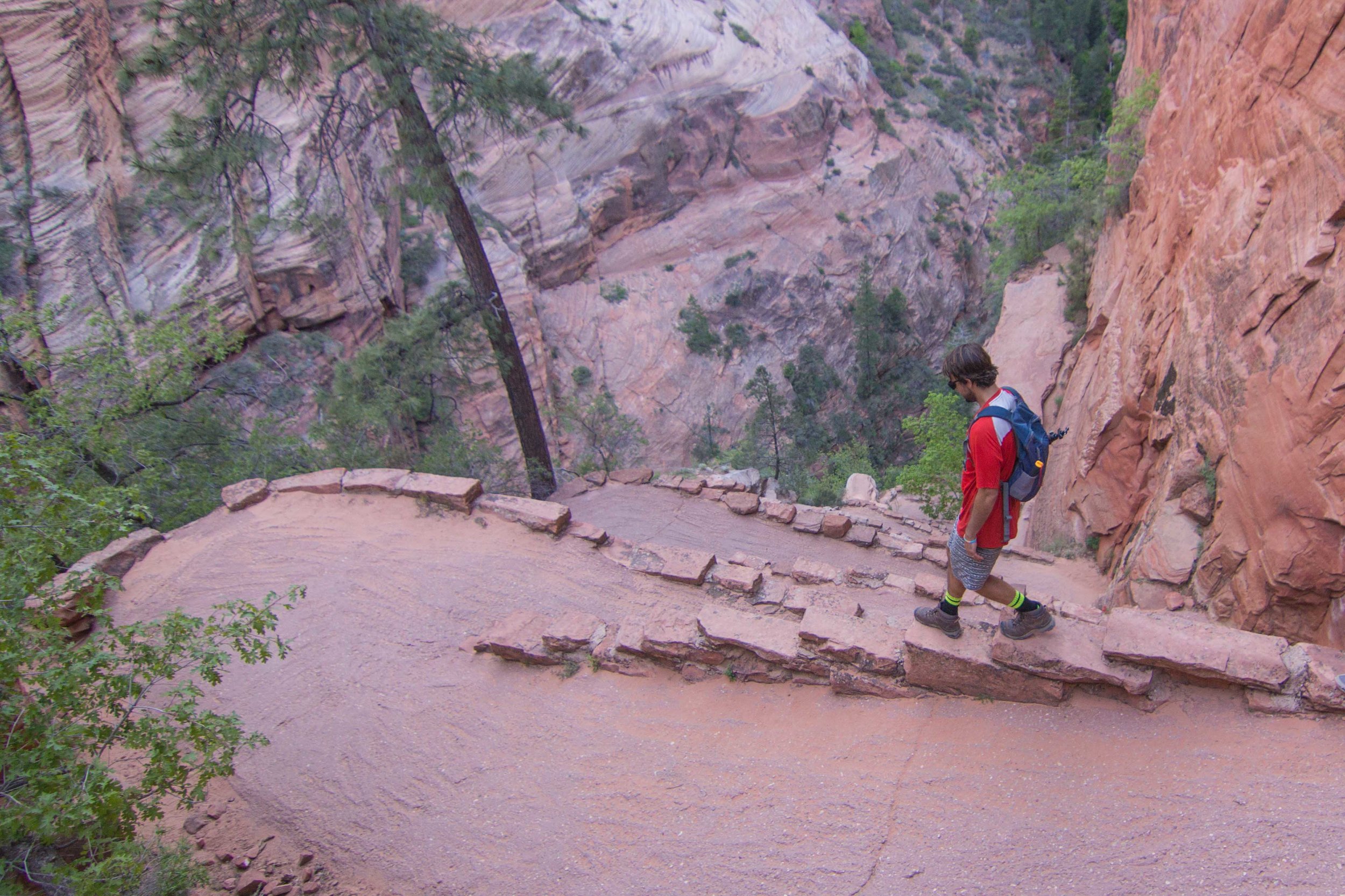
The trail to Angels Landing is 2.4 miles.  It begins at the Grotto drop off point.  The hike up to Angels Landing isn't too difficult it is all uphill, but it’s paved and it's a really nice trail.  On the Angels Landing Trail, after you head up Walter’s Wiggles, if you have a fear of heights, you may struggle in points.  You basically hike along a knife ridge, with the valley 1,400 feet below you, with only chains to hold onto.  After a half mile of high risk hiking, you reach the 5,790 feet summit of Angels Landing and you will be glad you did this hike.  The views from Angels Landing across the valley of the Great White Throne towering overhead are amazing.  You will literally feel like an ant on top of this rock formation.  It’s a hike you will definitely want to do while in Zion.  We headed down and luckily caught the last shuttle back to the campsite.  

Bryce Canyon National Park Utah

We left Planet Zion late as expected with our Crew and set auto pilot for Bryce Canyon.  We set up camp right outside of the park off of forest road 1173 where we saw other people camping.  We set up camp rested a bit then drove into the park.  

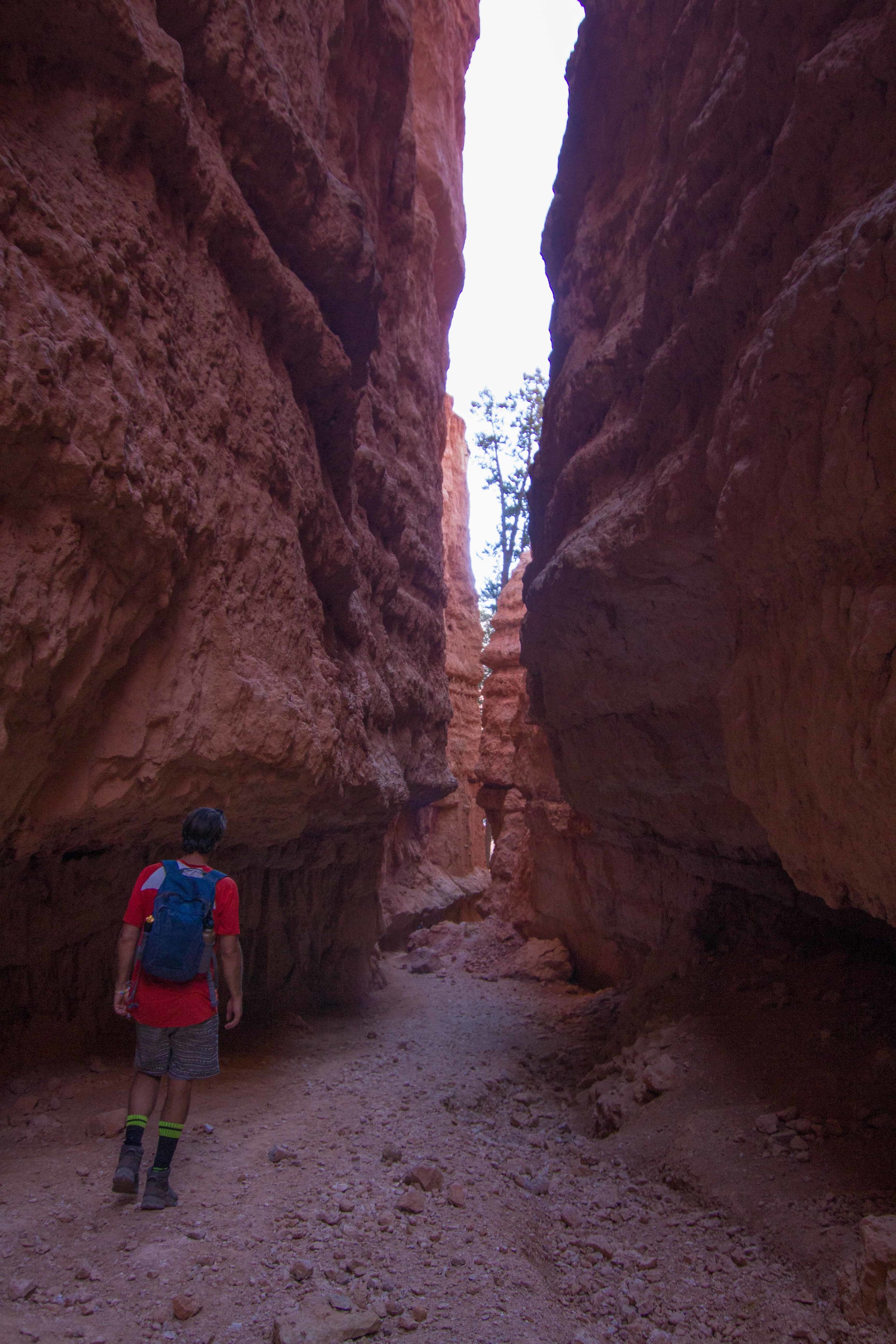
We once again flashed our America the Beautiful card, that we already made our money back on, and headed towards Sunset Point.  We started with the Navajo Loop trail that takes you down to the Valley Floor and up through Wall Street canyon, named for obvious reasons. 

We hoped in our lunar rover and headed to the Bryce Overlook viewpoint for sunset.  Bryce Canyon is the Grand Canyon’s younger smaller hippie brother.  This place has some of the most interesting and trippy hoodoo rock formations in the US.  Bryce Canyon would be an amazing place to do some backcountry camping and we wished we were more prepared with permits and such to partake in what must be an incredible experience.  

Burr Trail Escalante Staircase National Monument

From Bryce, we originally set sights on the Grand Canyon North Rim, but the park wasn't open yet. So, we decided to go off a hot tip from another traveler and check out a road less traveled.   The Burr Trail is in the Escalante Grand Staircase National Monument and is a road that access some amazing opportunity for freedom camping in areas. 

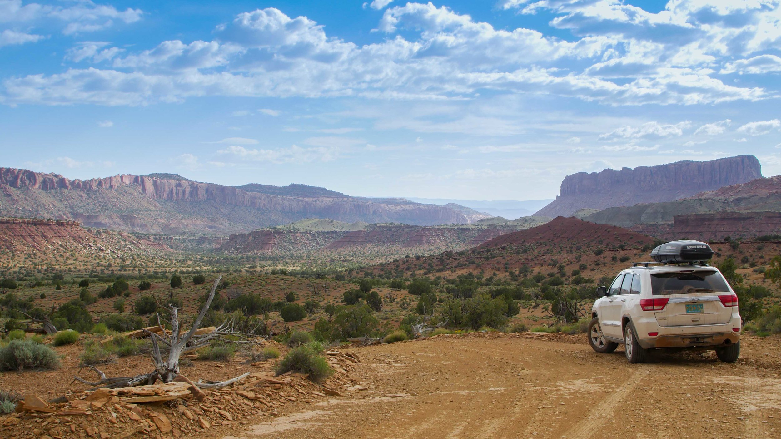
The strips of pastel pinks, whites, and, reds confirmed that we were in Jupiter’s orbit.  We were sucked straight into the this landscape as if we were imbedded into a transcendentalistpainting.  We first headed to Kiva Koffeehouse before we headed to Calf Creek Falls.  We highly recommend checking out this little gem of a cafe with amazing views of the Escalante River Valley.  The trail to Calf Creek Falls is easy and along the valley.  It’s an awesome little hike and the waterfall is like an oasis in the desert.  We camped in the BLM land along the Burr Trail overlooking Long Canyon.  The next day we headed out on one of the more scenic drives of the trip along the Burr Trail.  We stopped along the way to witness thunderstorms sweep across the desert landscape.  Originally, as we set out that day, we felt like going deep into the belly of the desert.  We set out for a pin on the map to put the Jeeps 4x4 to the test.  We set out for Moody Canyon with a stop at the Wolverine Petrified Forest.  

The journey out to Moody Canyon is a long one and you could possibly go a few days without seeing anyone in certain times of the year.  With the being said, I would advise to have emergency food/water and a back up batter charger or way to jump your car if you needed to.  We found an amazing campsite overlooking Moody Canyon.  The road was easily manageable in the Jeep, but wouldn't be possible in a camper van.  We were isolated out on the desert and it felt amazing. We cooked and enjoyed a moonlit campsite. 

Capitol Reef National Park Utah

We jetted out early in the morning so we could enjoy a few activities in the Capitol Reef National Park before we headed toward the Utah/Colorado border for the night.  The drive through Capital Reef is pretty spectacular on its own.  We wished we had planned better and spent some more time in this area.  We randomly stopped and did the hike as far as we could up Surprise Canyon.  I would recommend this to anyone looking for a quick day activity while heading down south along the Burr Trail.  

We made breakfast in the parking lot at Surprise Canyon and headed out to catch out ferry across Lake Powell in the Glen Canyon National Recreation Area, which we our America the Beautiful pass worked for!  We enjoyed a quick swim at Stanton Creek, near Bullfrog before we caught our ferry which was a reasonable $20.  

Muley Point and the goose necks

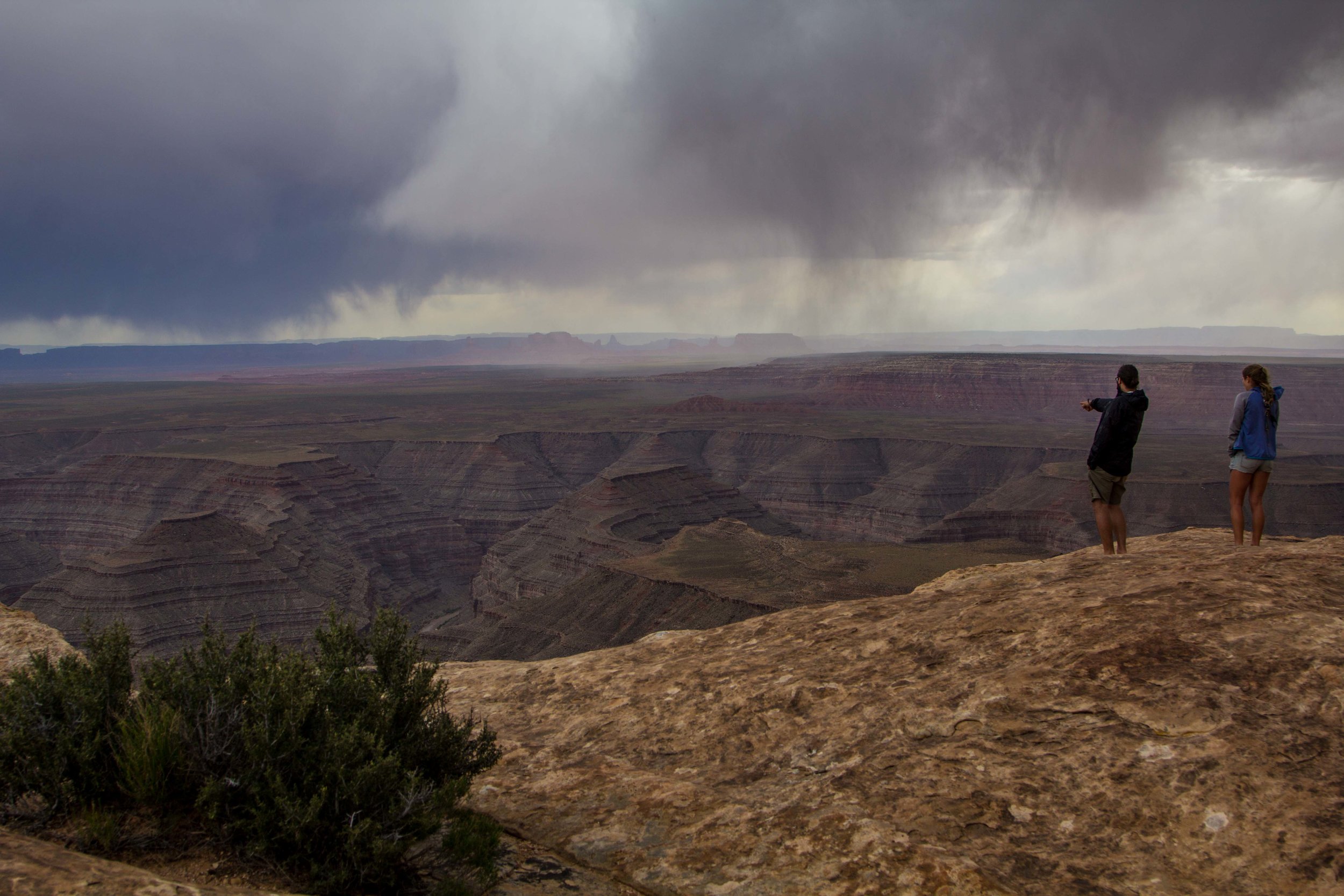
Thanks to a mixture of freecampsites.net and WIkiCamps, we found the most incredible campsite at Muley Point overlooking the San Juan Goose Necks.  We watched a massive lightning storm roll through Monument Valley with enough charge to make all the hair on our heads stick straight up into the air.  We got in late had inclement weather.  So, we set up camp and fell asleep.  

Muley Point San Juan Goosenecks

Durango 

From Muley Point, you can head through Monument Valley which is only 20 miles away and head down into Arizona or you can head into Colorado and one of my favorite mountain towns Durango.  Dani and I have family in Durango. So, we enjoyed relaxing and catching up.  Omar got sick. So we returned to Albuquerque, after a year and a half of being abroad.  Our original plan included one more stop at Bisti Badlands for a few nights but we lost our captain to a stomach bug.